Public domain
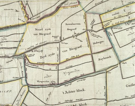
Map of the Alblasserwaard
From the collection of Rijksmuseum, Amsterdam. Free to download, adapt and use — no permission needed.
About this work
Map of the area north of the river De Merwede and west of the Noorder Diep. At the confluence of these rivers: Dordrecht.
Rijksmuseum, Amsterdam’s own descriptionSubjects
Credit lineKaart van de Alblasserwaard. c. 1700 - c. 1750. anonymous. Rijksmuseum, Amsterdam. Public domain.
Similar works
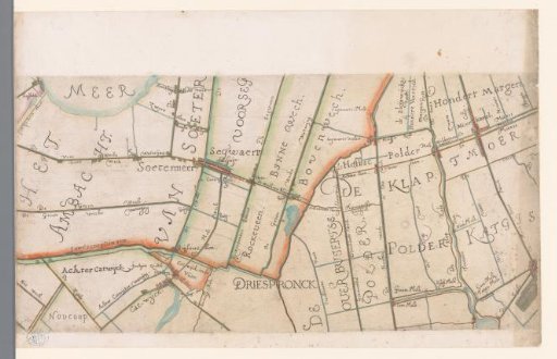 Part of a map of the Hoogheemraadschap of Rijnland, with Zoetermeer and surroundings
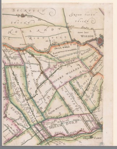 Part of a map of the Hoogheemraadschap of Rijnland, with Woerden and surroundings
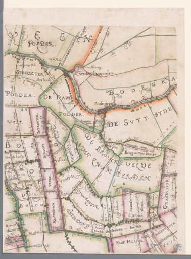 Part of a map of the Hoogheemraadschap of Rijnland, with Bodegraven and surroundings
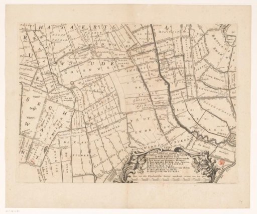 Map of the Hoogheemraadschap of Rijnland (fourteenth part)
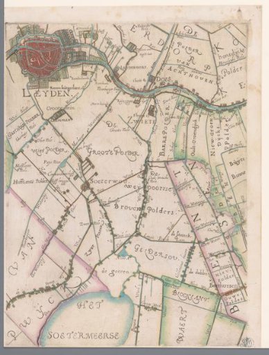 Part of a map of the Hoogheemraadschap of Rijnland, with Leiden and surroundings
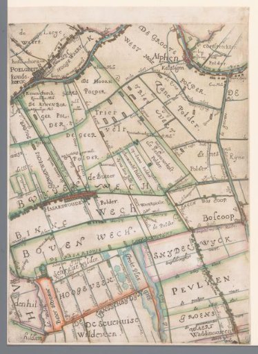 Part of a map of the Hoogheemraadschap of Rijnland, with Alphen aan den Rijn and surroundings