Public domain
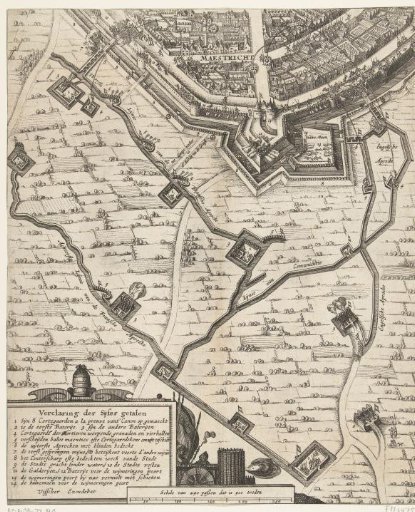
Map with Part of the Siege of Maastricht, 1632
From the collection of Rijksmuseum, Amsterdam. Free to download, adapt and use — no permission needed.
About this work
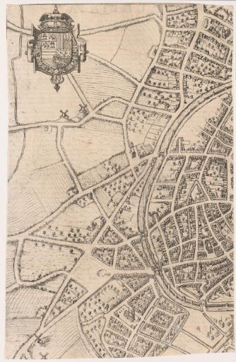
Map with a part of the Siege of Maastricht, 1632. At the top a part of the city with fortifications, below the approaches of the French and English mercenary troops. Bottom left the legend 1-14. Below, in the middle, a scale bar: Scale of 250 paces which is 500 steps.
Rijksmuseum, Amsterdam’s own descriptionCredit lineKaart met deel van het Beleg van Maastricht, 1632. 1632. Rijksmuseum, Amsterdam. Public domain.