Public domain
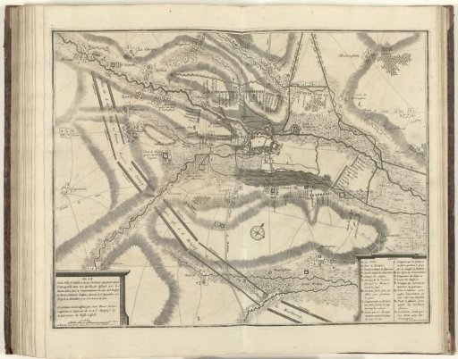
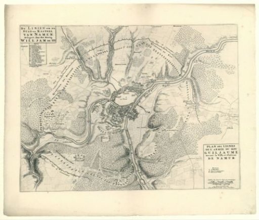
Map showing the lines of the allies during the siege of Namur, 1695
From the collection of Rijksmuseum, Amsterdam. Free to download, adapt and use — no permission needed.
About this work
Map with the lines of the Allies during the siege of Namur and the surrounding area, showing the positions and camps of the Allied troops, 1695. Below the title, a legend called 'Nota'. Bottom right, a French title and a scale indicator.
Rijksmuseum, Amsterdam’s own descriptionCredit lineKaart met de linies van de geallieerden bij het beleg van Namen, 1695. 1695. anonymous. Rijksmuseum, Amsterdam. Public domain.