Public domain
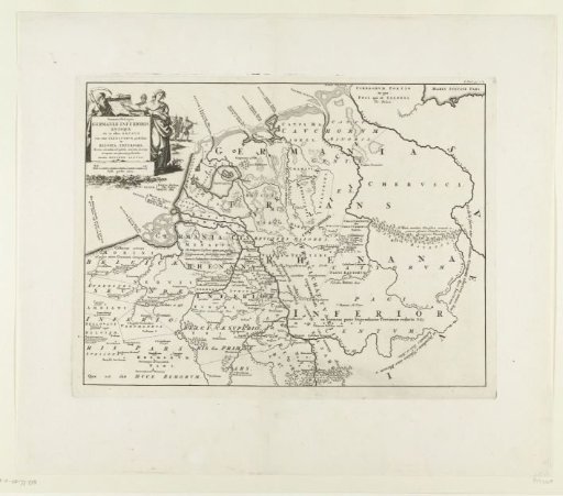
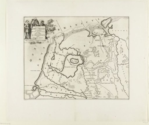
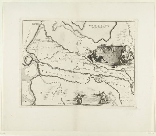
Historical map of the Netherlands with the territories of the Batavians and Frisians
From the collection of Rijksmuseum, Amsterdam. Free to download, adapt and use — no permission needed.
About this work
Map of areas in the Netherlands and surrounding countries. Part of 16 maps of the land of the Batavians and Frisians, first made for and included in M. Alting, Descriptio ant. agri Batavi et Frisii, s. notitia Germ. infer., 2 volumes, 1697-1700. Reused in F. Halma, Tooneel der Vereenigde Nederlanden en onderhorige landschappen, geopent in een algemeen historisch, genealogisch, geographisch en staatkundig woordenboek, 2 volumes, 1725. According to the inscription, placed in: Volume I, page 1b.
Rijksmuseum, Amsterdam’s own descriptionCredit lineHistorische kaart van Nederland met de gebieden van de Bataven en Friezen. 1695 - 1700. Jan Luyken. Rijksmuseum, Amsterdam. Public domain.
Similar works
 Historical map of Germany
 Historical map of the Netherlands with the territories of the Batavians and Frisians
 Historical map of the Netherlands with the territories of the Batavians and Frisians
 Historical map of the Netherlands with the territories of the Batavians and Frisians
 Historical map of the Netherlands with the territories of the Batavians and Frisians
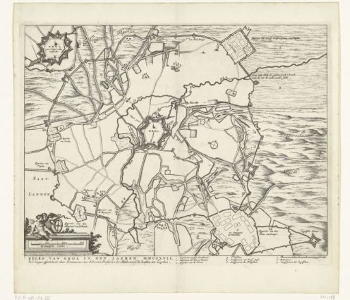 Map of the Siege of Groenlo, 1627