Public domain
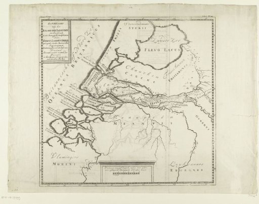
Historical map of the Netherlands with the names of places attacked by Claudius Civilus
From the collection of Rijksmuseum, Amsterdam. Free to download, adapt and use — no permission needed.
About this work
Historical map of the Netherlands with the names of places attacked by Claudius Civilus. Part of the 8 maps in G. van Loon, *Aloude Hollandsche Histori... sedert de komst der Batavieren in... Holland*, 2 vols., published by Pieter de Hond, The Hague 1734. According to inscription placed in: Volume I, fol. 146/147.
Rijksmuseum, Amsterdam’s own descriptionCredit lineHistorische kaart van Nederland met de namen van plaatsen aangevallen door Claudius Civilus. 1732 - 1734. anonymous. Rijksmuseum, Amsterdam. Public domain.
Similar works
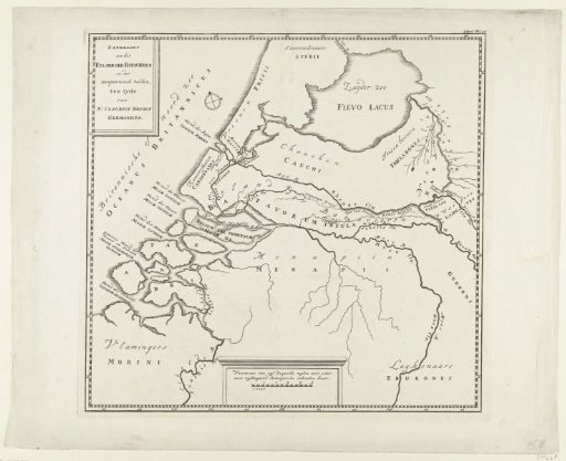 Historical map of the Netherlands with the territories of the Batavians and Frisians
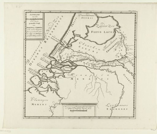 Historical map of the Netherlands with the canal of Corbulo
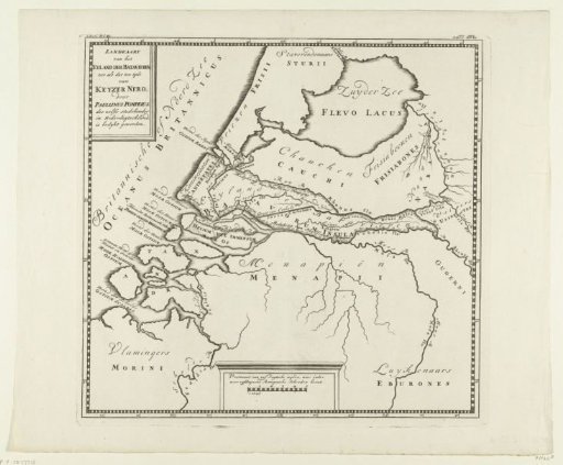 Historical map of the Netherlands during the time of Emperor Nero
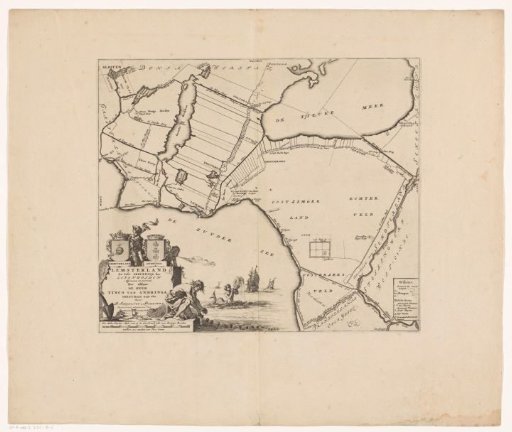 Map of the grietenij Lemsterland
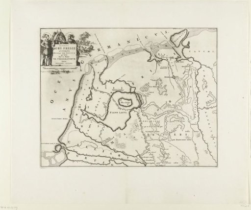 Historical map of the Netherlands with the territories of the Batavians and Frisians
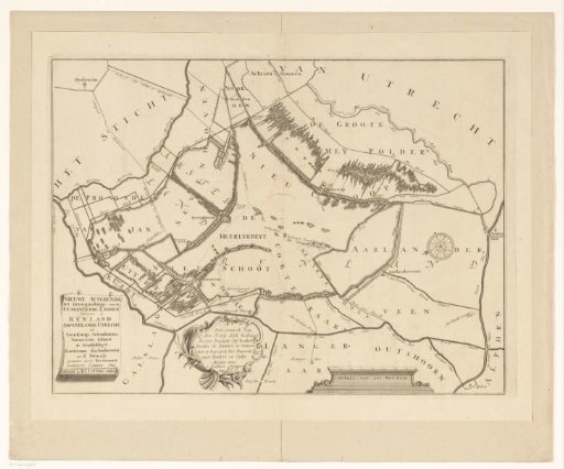 Map of the Polder Lands around Nieuwkoop, Zevenhoven, Nieuwveen, Korteraar and Aarlanderveen