Public domain
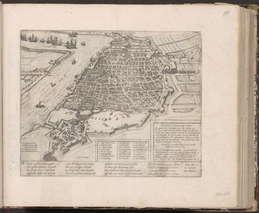
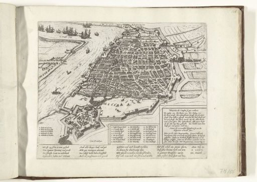
The Spanish Fury: Plan of the City, 1576
From the collection of Rijksmuseum, Amsterdam. Free to download, adapt and use — no permission needed.
About this work
Plan of the city of Antwerp in bird's-eye perspective. From the citadel, Spanish soldiers assault the city. In two cartouches, a list of the most important buildings of the city (1–25) and a list of the streets and houses burned during the plundering and the main councilors killed by the Spaniards. In the lower left, the names of the five bastions of the citadel (A–E). With an inscription of 16 lines in German. Numbered: 6.
Rijksmuseum, Amsterdam’s own descriptionCredit lineSpaanse Furie: plattegrond van de stad, 1576. 1576 - 1578. Frans Hogenberg. Rijksmuseum, Amsterdam. Public domain.