Public domain
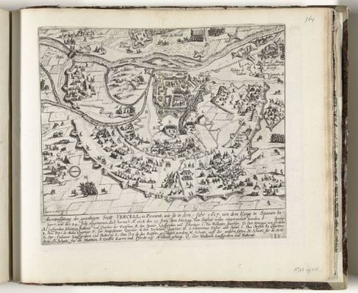
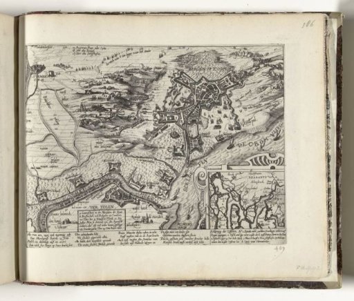
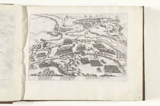
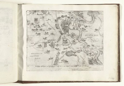
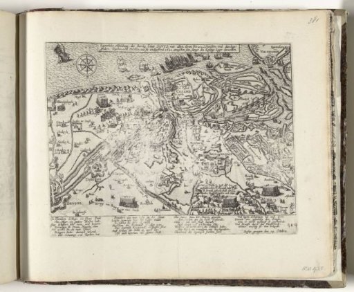
Map of Sluis and surrounding area besieged by the Spaniards, 1621
From the collection of Rijksmuseum, Amsterdam. Free to download, adapt and use — no permission needed.
About this work
Map of Sluis and surrounding area besieged by the Spaniards, 14 October 1621. With a caption of 26 lines in German. Numbered in pen in the lower right: 404. The print is part of an album.
Rijksmuseum, Amsterdam’s own descriptionCredit lineKaart van Sluis en omgeving belegerd door de Spanjaarden, 1621. 1621. Rijksmuseum, Amsterdam. Public domain.