Public domain
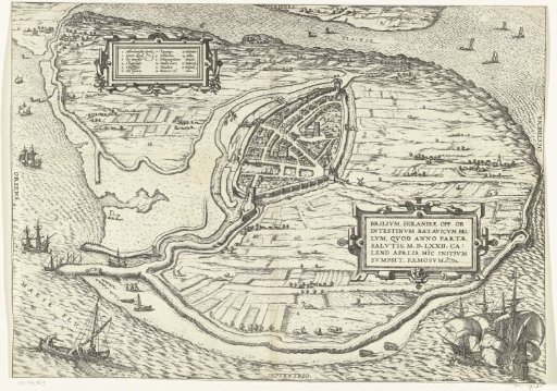
Map of the island of Voorne and plan of Brielle, 1572
From the collection of Rijksmuseum, Amsterdam. Free to download, adapt and use — no permission needed.
About this work
Map of the island of Voorne with a plan of Brielle, taken by the Watergeuzen on 1 April 1572, in bird's-eye perspective. Top left a cartouche with a Dutch legend 1-16. Right a cartouche with the title in Latin. Bottom left a fishing boat, bottom right two warships. Verso unprinted.
Rijksmuseum, Amsterdam’s own descriptionCredit lineKaart van het eiland Voorne en plattegrond van Brielle, 1572. 1575 - in or before 1657. Rijksmuseum, Amsterdam. Public domain.
Similar works
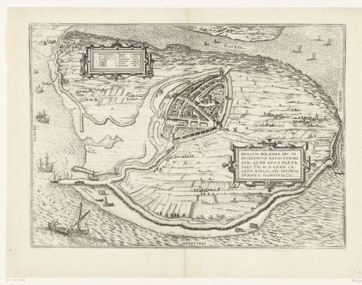 Map of the island of Voorne and plan of Brielle, 1572
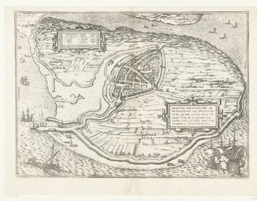 Map of the island of Voorne and plan of Brielle, 1572
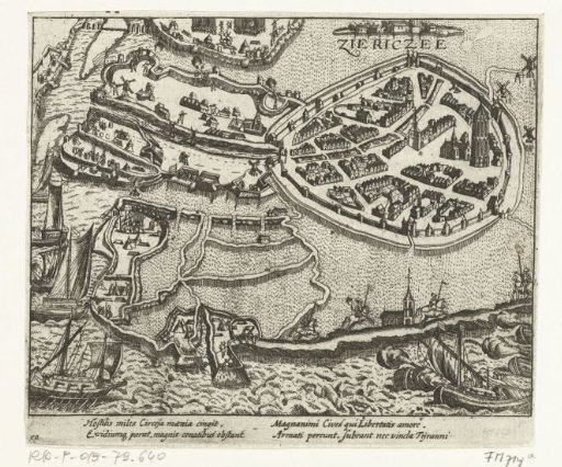 Siege of Zierikzee by the Spaniards, 1576
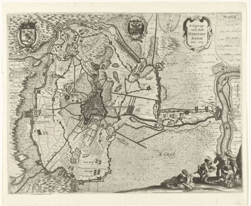 Map of the siege of 's-Hertogenbosch by Frederick Henry, 1629
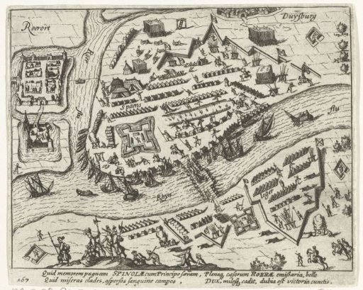 Camp of Spinola before Ruhrort, 1605
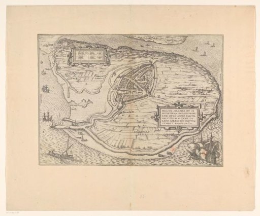 Map of the island of Voorne and plan of Brielle, 1572