Public domain
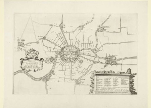
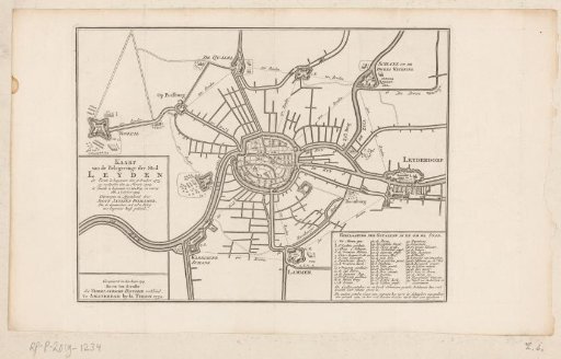
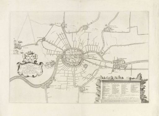
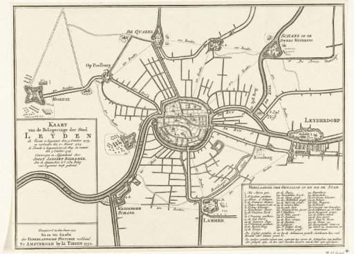
Map of the Siege of Leiden, 1573-1574
From the collection of Rijksmuseum, Amsterdam. Free to download, adapt and use — no permission needed.
About this work
Map of Leiden and the surrounding forts during the Siege of Leiden, 1573-1574. To the right, Leiderdorp. Bottom right, the legend of the numbers 1-49 in Dutch.
Rijksmuseum, Amsterdam’s own descriptionCredit lineKaart van het beleg van Leiden, 1573-1574. 1752. anonymous. Rijksmuseum, Amsterdam. Public domain.