Public domain
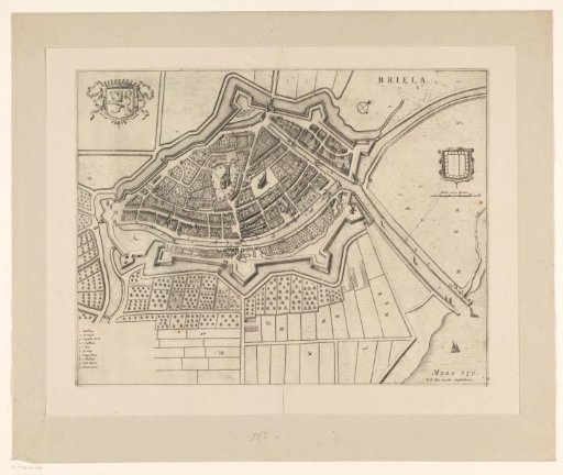
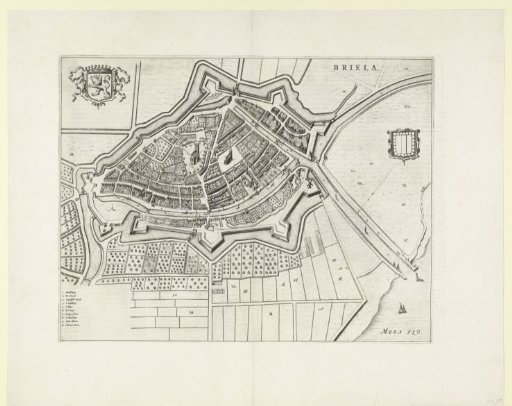
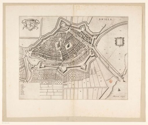
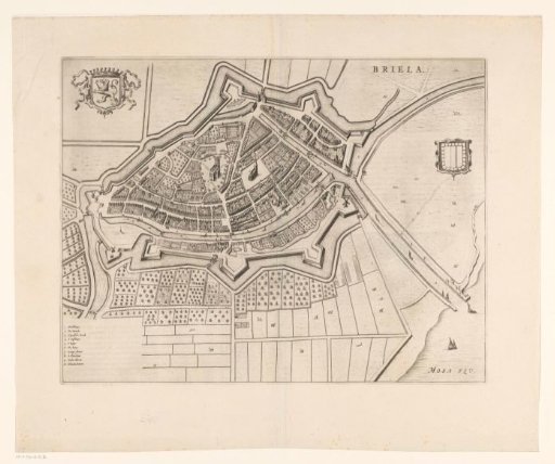
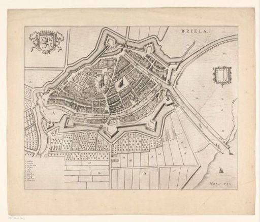
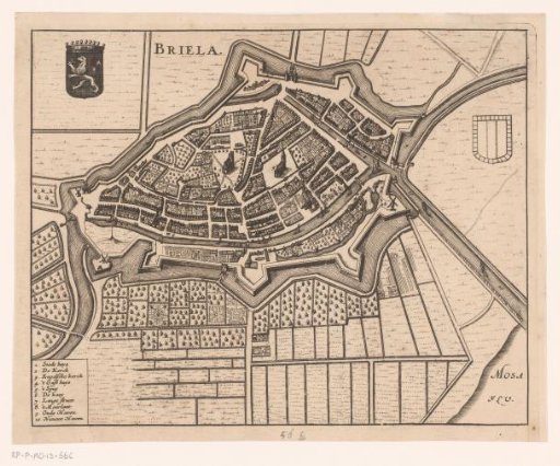
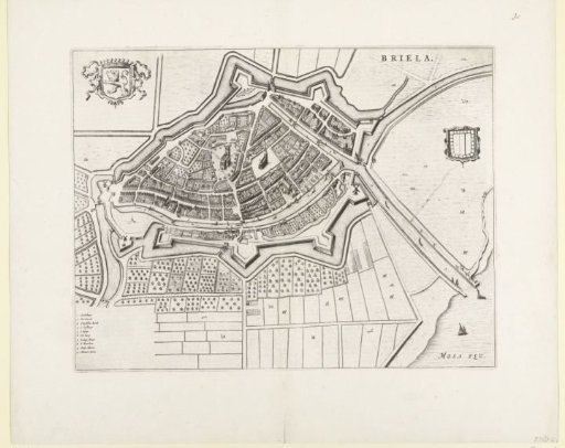
Plan of Brielle
From the collection of Rijksmuseum, Amsterdam. Free to download, adapt and use — no permission needed.
About this work
Map of Brielle and part of the surrounding land. In the top left the coat of arms of the city, in the bottom left the legend 1-10 in Dutch. Taken from a double-page spread in the Stedenboek by Blaeu, printed on both sides with text in Dutch.
Rijksmuseum, Amsterdam’s own descriptionCredit linePlattegrond van Den Briel. 1647 - 1649. anonymous. Rijksmuseum, Amsterdam. Public domain.