Public domain
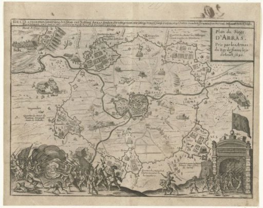
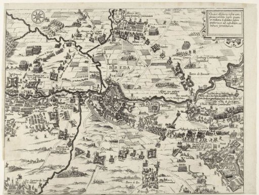
Map of the siege of Breda, 1624
From the collection of Rijksmuseum, Amsterdam. Free to download, adapt and use — no permission needed.
About this work
Map of the siege of Breda by the Spanish army under Spinola, 27 August 1624 to 5 June 1625. Breda with the surrounding land. Bottom left, the army position at Ginneken; right, Ter Heijde. Right, the departure of the States' army with Justinus van Nassau from Breda. Bottom right, the abandoned army position of the States' army under Maurice. Inscriptions in the image in German and French.
Rijksmuseum, Amsterdam’s own descriptionCredit lineKaart van het beleg van Breda, 1624. 1624 - 1625. anonymous. Rijksmuseum, Amsterdam. Public domain.