Public domain
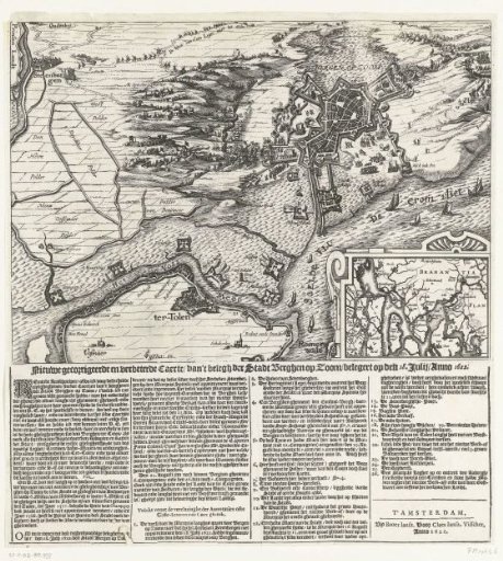
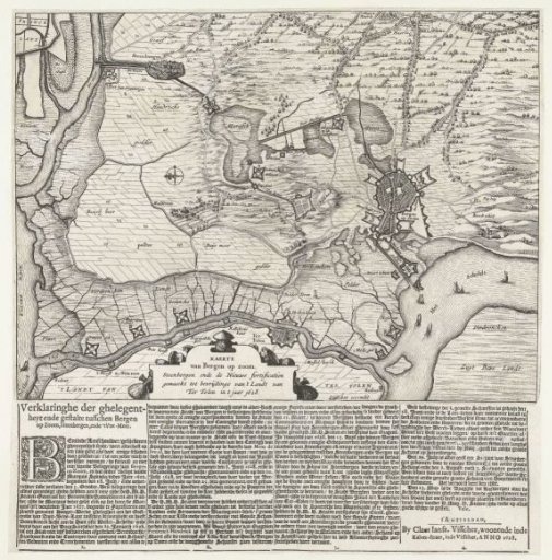
Map of Bergen op Zoom and Steenbergen with the new fortifications, 1628
From the collection of Rijksmuseum, Amsterdam. Free to download, adapt and use — no permission needed.
About this work
Map of Bergen op Zoom and Steenbergen with the surrounding area with the new fortifications. With the repulsion of the Spanish invasion of Zuid-Beveland. A sheet with 4 numbered columns of text in Dutch is glued under the print.
Rijksmuseum, Amsterdam’s own descriptionCredit lineKaart van Bergen op Zoom en Steenbergen met de nieuwe vestingwerken, 1628. 1628. Rijksmuseum, Amsterdam. Public domain.