Public domain
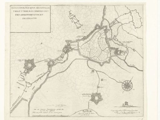
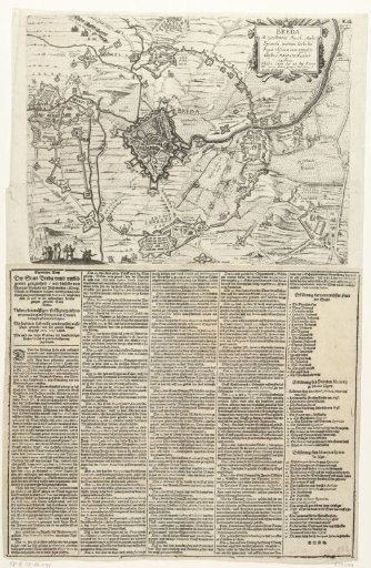
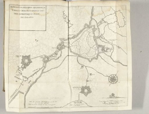
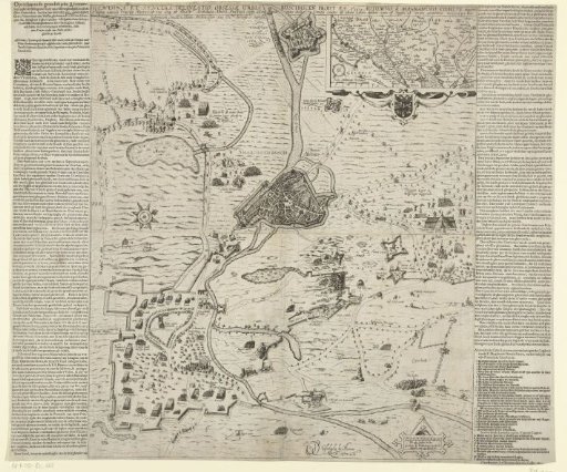
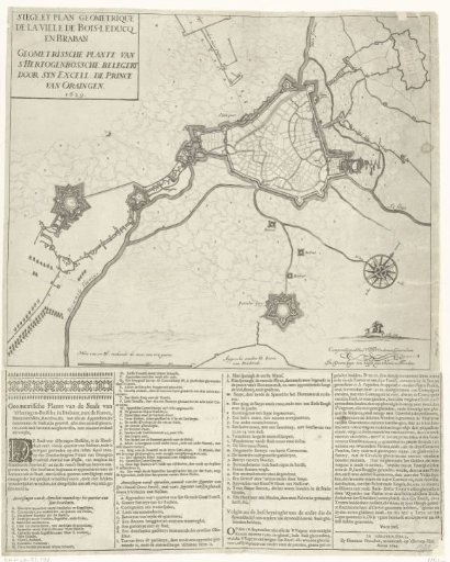
Map of the Siege of 's-Hertogenbosch by Frederick Henry, 1629
From the collection of Rijksmuseum, Amsterdam. Free to download, adapt and use — no permission needed.
About this work
Map of 's-Hertogenbosch and surroundings during the siege by the States Army under Frederick Henry, from May 1 to September 17, 1629. On the right, the forts Isabella and Sint-Anthonie, at the bottom Fort Pettelaer. A text sheet with four columns of text describing the siege and reporting the departure of the Spanish garrison, with legends A-Y, 2-14, a-y and 2-8 in Dutch, is attached below the image.
Rijksmuseum, Amsterdam’s own descriptionSubjects
Credit lineKaart van het beleg van Den Bosch door Frederik Hendrik, 1629. 1629. anonymous. Rijksmuseum, Amsterdam. Public domain.