Public domain
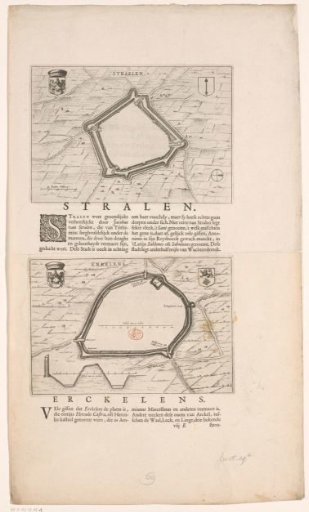
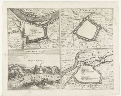
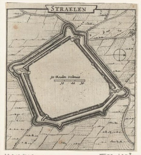
Map of Straelen, 1631-1632
From the collection of Rijksmuseum, Amsterdam. Free to download, adapt and use — no permission needed.
About this work
Map of Straelen. Part of a group of maps of cities, forts and dikes in Brabant captured by the States Army under Frederick Henry in the years 1631-1632.
Rijksmuseum, Amsterdam’s own descriptionCredit linePlattegrond van Straelen, 1631-1632. 1632 - 1649. anonymous. Rijksmuseum, Amsterdam. Public domain.