Public domain
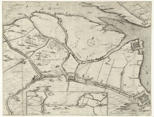
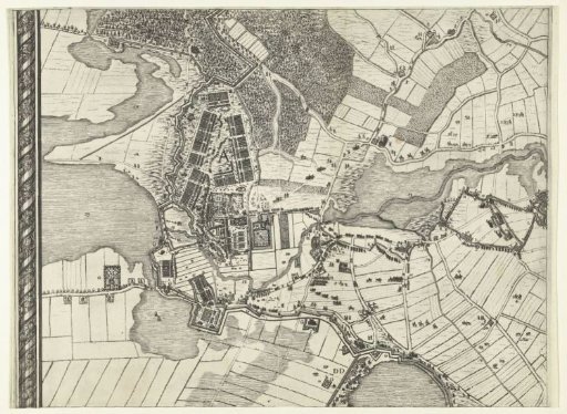
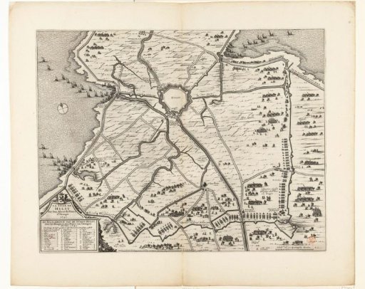
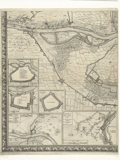
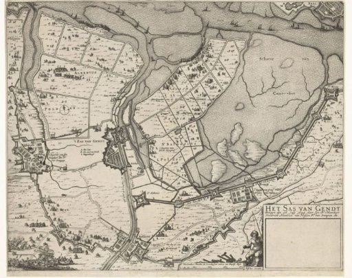
Map of the Siege of Sas van Gent, 1644
From the collection of Rijksmuseum, Amsterdam. Free to download, adapt and use — no permission needed.
About this work
Map of the siege of the town of Sas van Gent by the States Army under Frederick Henry, begun 28 July 1644. Map of Sas van Gent and the surrounding land between Philippine, Axel and Zelzate with the dikes and forts built by the besiegers and their army camps. Bottom right a cartouche with the title, otherwise blank. Accompanied by a text sheet in Dutch (with the last date mentioned 8 August).
Rijksmuseum, Amsterdam’s own descriptionCredit lineKaart van het beleg van Sas-van-Gent, 1644. 1644. Rijksmuseum, Amsterdam. Public domain.