Public domain
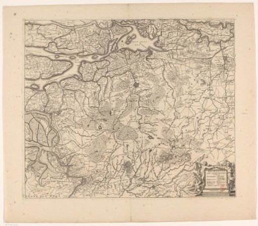
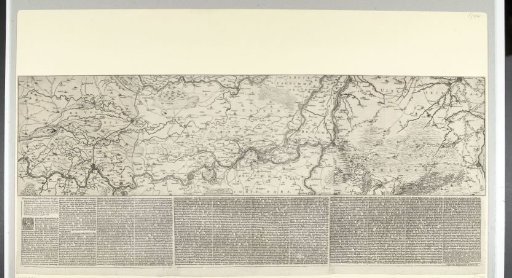
Map of the Rhine basin with the siege of Schenckenschans, 1635
From the collection of Rijksmuseum, Amsterdam. Free to download, adapt and use — no permission needed.
About this work
Map of the Rhine basin with the siege of the fort Schenckenschans, which was taken by surprise by the Spaniards on 28 July 1635 and by the States' army under Frederik Hendrik since 30 July 1635. Map on three sheets with the fort Schenckenschans at the junction of the Rhine and the Waal in the centre. Below the print, three text sheets are pasted with a description of the events up to 26 November 1635 in Dutch. The text refers to letters that do not appear in this print; this map may therefore belong to a larger set.
Rijksmuseum, Amsterdam’s own descriptionCredit lineKaart van het stroomgebied van de Rijn met het beleg van Schenckenschans, 1635. 1635. Rijksmuseum, Amsterdam. Public domain.