Public domain
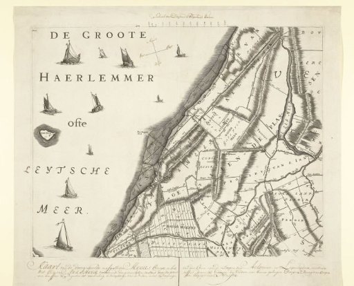
Map with the old shores of the Haarlemmermeer, ca. 1770
From the collection of Rijksmuseum, Amsterdam. Free to download, adapt and use — no permission needed.
About this work
Sheet from the large map of the Hoogheemraadschap of Rijnland, ca. 1770. Reprint of the original sheet from 1687 on which the banks surveyed in the years 1687, 1745, 1764 and 1766 are indicated. With caption, scale and wind directions written by hand.
Rijksmuseum, Amsterdam’s own descriptionCredit lineKaart met de oude oevers van de Haarlemmermeer, ca. 1770. 1685 - 1687. anonymous. Rijksmuseum, Amsterdam. Public domain.
Similar works
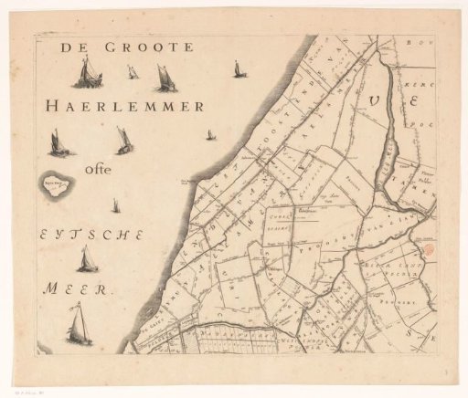 Map of the Hoogheemraadschap of Rijnland (eighth part)
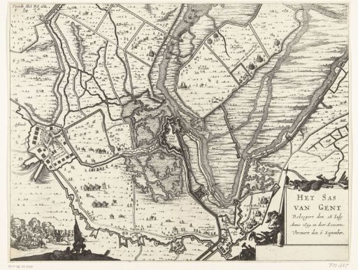 Map of the Siege and Conquest of Sas van Gent, 1644
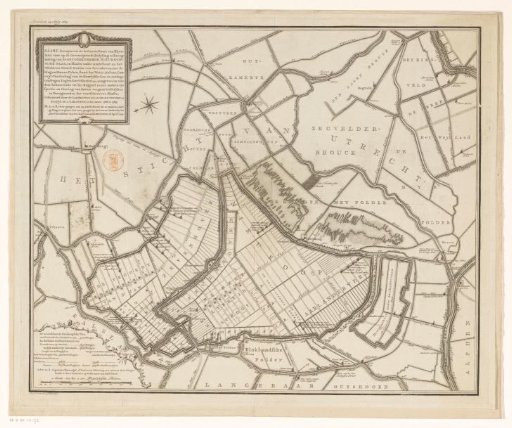 Map with a concept for the embankment and reclamation of the Nieuwkoopse Plassen
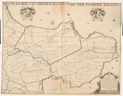 Map of the Trades of the Drechterland and the Four Northern Koggen
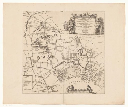 Map of the Grietenij of Tietjerksteradeel
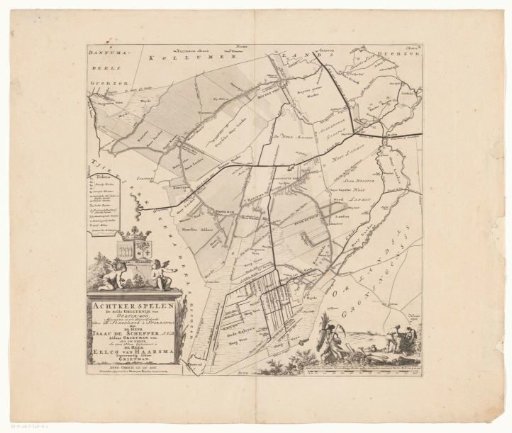 Map of the Grietenij of Achtkarspelen