Public domain
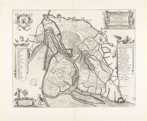
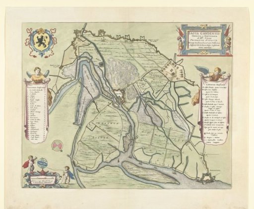
Map of the siege and capture of Sas-van-Gent, 1644
From the collection of Rijksmuseum, Amsterdam. Free to download, adapt and use — no permission needed.
About this work
Map of the siege of the city of Sas van Gent by the States' army under Frederik Hendrik, begun 28 July and taken on 5 September 1644. Map of Sas van Gent and the surrounding land with the dikes and forts built by the besiegers and their army camps. Left cartouches with the coat of arms, an angel with the legend 1-26 and two putti at the scale, right an angel with the legend A-I. On a double sheet taken from the Stedenboek of Blaeu. Printed on the back with text in Dutch.
Rijksmuseum, Amsterdam’s own descriptionCredit lineKaart van beleg en verovering van Sas-van-Gent, 1644. 1647 - 1649. anonymous. Rijksmuseum, Amsterdam. Public domain.