Public domain
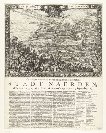
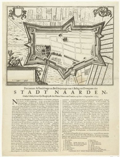
Map of Naarden, besieged and captured by the Prince of Orange, 1673
From the collection of Rijksmuseum, Amsterdam. Free to download, adapt and use — no permission needed.
About this work
Plan of the fortifications around Naarden, besieged and captured by Prince Willem III on 12 September 1673. Below the print a description of the events in two columns, with the legend 1-16.
Rijksmuseum, Amsterdam’s own descriptionCredit linePlattegrond van Naarden, belegerd en veroverd door de prins van Oranje, 1673. 1673. anonymous. Rijksmuseum, Amsterdam. Public domain.