Public domain
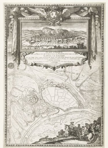
Map of the City of Namur with the Castle, Besieged and Captured by the French Army, 1692
From the collection of Rijksmuseum, Amsterdam. Free to download, adapt and use — no permission needed.
About this work
Map of the city of Namur with the castle, besieged and taken by the French army, 25 May to 30 June 1692. At the top a cartouche with a view of the city, crowned with the winged French royal coat of arms, at the bottom the king on horseback leading his officers. Entirely in a decorative border. Part of a series of prints with victories of Louis XIV.
Rijksmuseum, Amsterdam’s own descriptionCredit lineKaart van de stad Namen met het kasteel, belegerd en ingenomen door het Franse leger, 1692. 1692 - 1699. Pierre Lepautre. Rijksmuseum, Amsterdam. Public domain.
Similar works
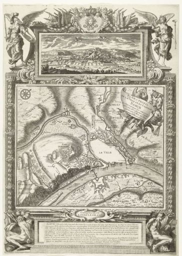 Map of the City of Namur with the Castle, Besieged and Captured by the French Army, 1692
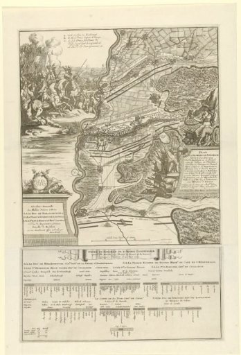 Battle of Höchstädt, 1704
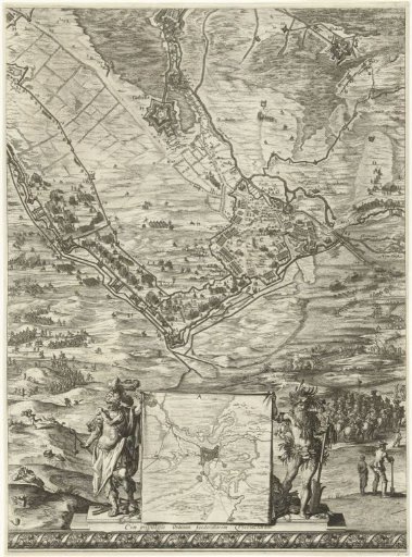 Large map of the siege of 's-Hertogenbosch by Frederick Henry (bottom middle sheet), 1629
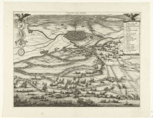 Map with the Relief of Leiden, 1574
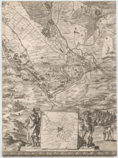 Large map of the siege of 's-Hertogenbosch by Frederick Henry (bottom middle sheet), 1629
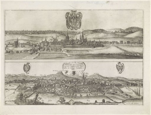 Views of Ansbach and Coburg