Public domain
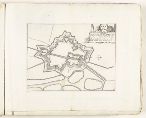
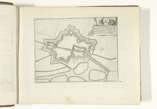
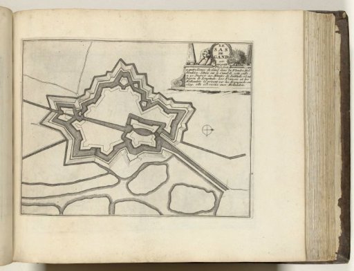
Map of Sas van Gent, ca. 1693-1696
From the collection of Rijksmuseum, Amsterdam. Free to download, adapt and use — no permission needed.
About this work
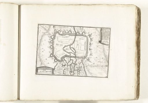
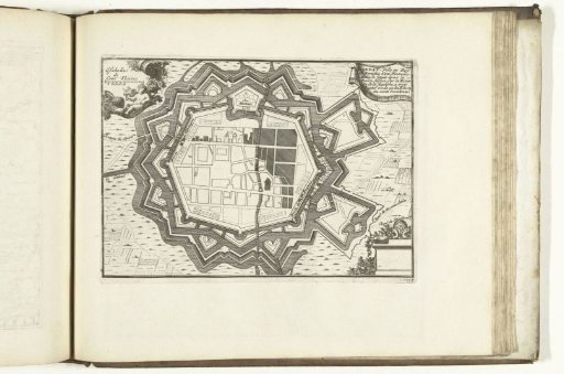
Plan of the fortifications surrounding the Flemish city of Sas van Gent. Part of the fifth volume (1696) of the print series containing the eight volumes of *Les forces de l'Europe* published between 1693-1697. The series consists of 175 plates with plans (by Sébastien Le Prestre, Seigneur de Vauban) of famous fortified cities and strongholds in the Nine Years' War. Title and inscriptions in French.
Rijksmuseum, Amsterdam’s own descriptionCredit linePlattegrond van Sas-van-Gent, ca. 1693-1696. 1693 - 1696. anonymous. Rijksmuseum, Amsterdam. Public domain.