Public domain
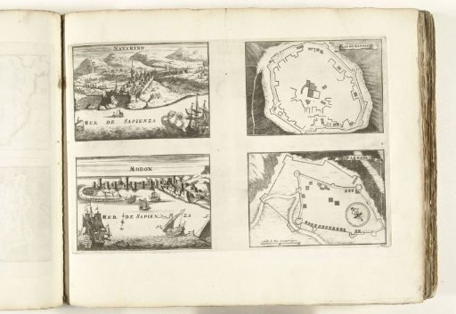
Maps and views of Pílos, Zarnata, Modon and Passava, ca. 1702
From the collection of Rijksmuseum, Amsterdam. Free to download, adapt and use — no permission needed.
About this work
Sheet with two plans and two views of the Greek cities and forts of Pílos (Navarino), Zarnata, Modon and Passava. Plate no. 155 in the print work consisting in total of 276 numbered plates of famous strong cities and fortresses in the context of the War of the Spanish Succession. For the most part, these plates are copied from anonymous French plates: in Les forces de l'Europe and in: Le theatre de la guerre, dans les Pays-Bas, both originally published by Nicolas de Fer in Paris (1693-1697) in the context of the Nine Years' War. Titles and inscriptions on the plate in French.
Rijksmuseum, Amsterdam’s own descriptionCredit linePlattegronden en gezichten op Pílos, Zarnata, Modon en Passava, ca. 1702. 1702 - 1703. anonymous. Rijksmuseum, Amsterdam. Public domain.
Similar works
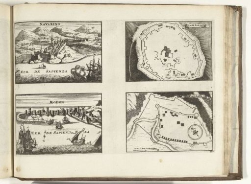 Plans and views of Pílos, Zarnata, Modon, and Passava, 1726
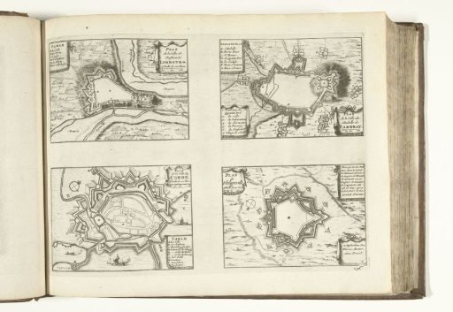 Maps of Limbourg, Cambrai, Condé and Philippeville, 1726
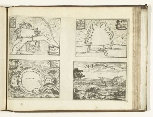 Plans of Seurre, Gray and Besançon, 1726
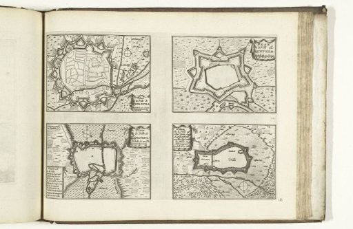 Maps of Fribourg, Benfeld, Haguenau and Stollhofen, 1726
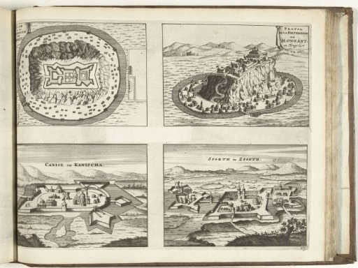 Views of Munkács, Kanischa and Sziget, 1726
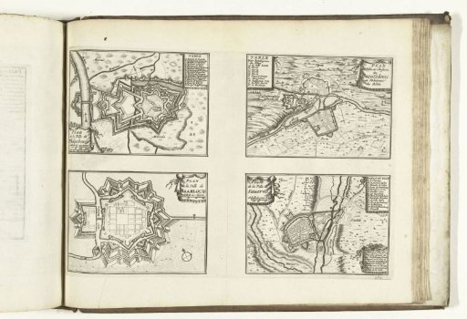 Plans of Philippsburg, Kreuznach, Saarlouis and Saverne, 1726