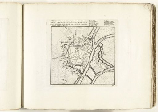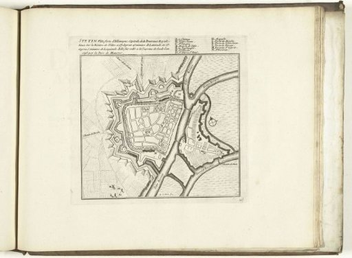
Map of Stettin, 1726
From the collection of Rijksmuseum, Amsterdam. Free to download, adapt and use — no permission needed.
Plan of the fortifications around the German city of Stettin. Plate no. 217 in part IX of the print work: Les Forces de l'Europe, Asie, Afrique et Amerique ... Comme aussi les Cartes des Côtes de France et d'Espagne, 1726, this first part with 238 hand-numbered plates of famous strong cities and fortresses in the context of the War of the Spanish Succession 1701-1713. Most of these plates are copied from anonymous French plates of famous strong cities and fortresses: in Les forces de l'Europe and in: Le theatre de la guerre, dans les Pays-Bas, both originally published by Nicolas de Fer in Paris (1693-1697) in the context of the Nine Years' War. Title and inscriptions in French. Traces of the number 140, which has been polished away, in the lower right.
Rijksmuseum, Amsterdam’s own description