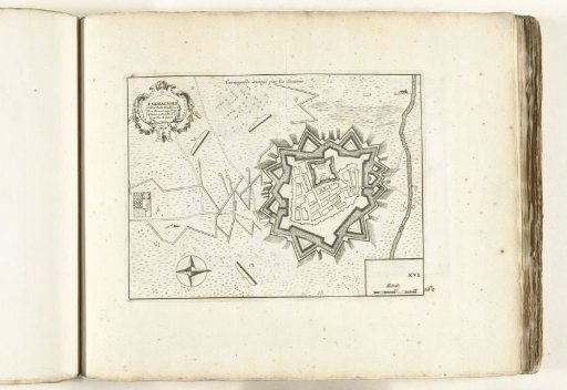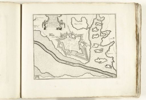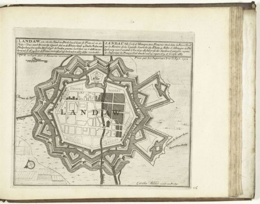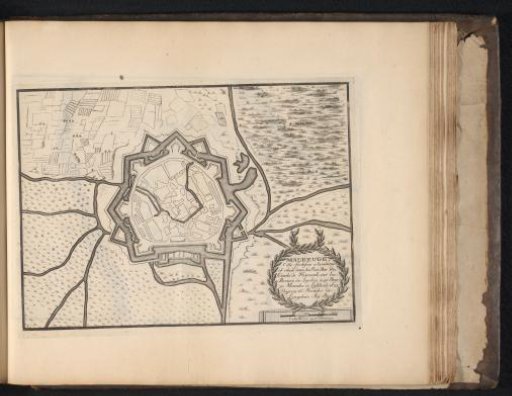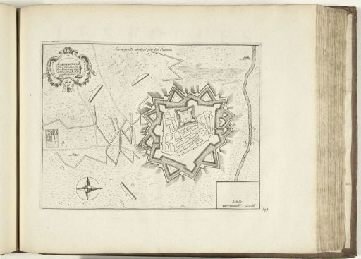
Plan of Carmagnola, 1726
From the collection of Rijksmuseum, Amsterdam. Free to download, adapt and use — no permission needed.
Plan with the trenches of the besiegers and the fortifications around the Italian city of Carmagnola during the siege. Plate no. 349 in part XIV of the print work: Les Forces de l'Europe, Asie, Afrique et Amerique ... Comme aussi les Cartes des Côtes de France et d'Espagne from 1726, this second part with 271 hand-numbered plates of famous strong cities and fortresses in the context of the War of the Spanish Succession 1701-1713. Most of these plates are copied from anonymous French plates of famous strong cities and fortresses: in Les forces de l'Europe and in: Le theatre de la guerre, dans les Pays-Bas, both originally published by Nicolas de Fer in Paris (1693-1697) in the context of the Nine Years' War. Title and inscriptions in French.
Rijksmuseum, Amsterdam’s own description