Public domain
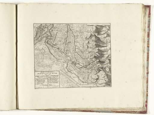
Map of the western part of the Margraviate of Baden, ca. 1701-1713
From the collection of Rijksmuseum, Amsterdam. Free to download, adapt and use — no permission needed.
About this work
Map of the western part of the Margraviate of Baden showing the lines of the French and the allies and various battles. Part of the bound series of 49 plates of famous strong cities and fortresses in the War of the Spanish Succession, ca. 1701-1713. With titles in Dutch and French.
Rijksmuseum, Amsterdam’s own descriptionCredit lineKaart van het westen van markizaat Baden, ca. 1701-1713. 1701 - 1714. Rijksmuseum, Amsterdam. Public domain.
Similar works
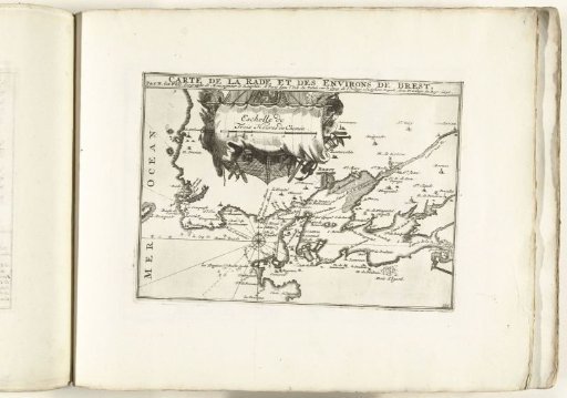 Map of the coast at Brest, ca. 1702
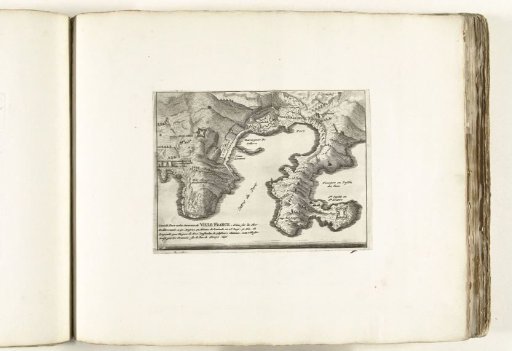 Map of Villefranche-sur-Mer and surroundings, ca. 1702
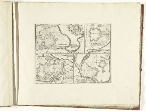 Four maps of cities in Catalonia and Southern France, ca. 1701-1713
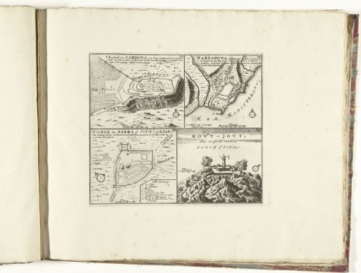 Four maps of cities in Catalonia, ca. 1701-1713
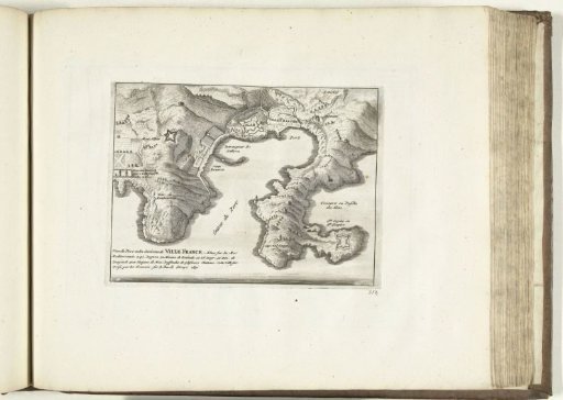 Map of Villefranche-sur-Mer and Surroundings, 1726
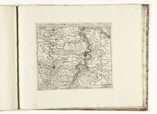 Map of the region between Mannheim and Landau, ca. 1701-1713