Public domain
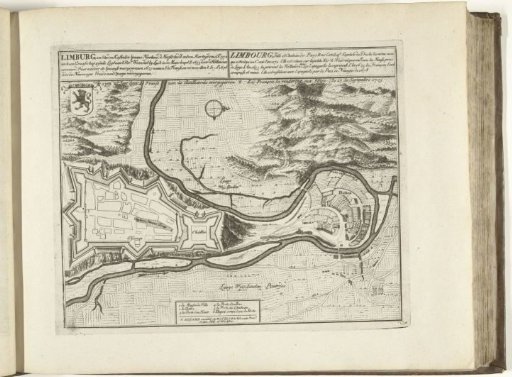
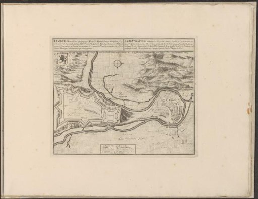
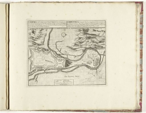
Map of Limburg, ca. 1701-1713
From the collection of Rijksmuseum, Amsterdam. Free to download, adapt and use — no permission needed.
About this work
Plan of the city of Limburg (Limbourg) in the Spanish Netherlands, captured by the allies from the French, 27 September 1703. Part of the bound series of 49 plates of famous strong cities and fortresses in the War of the Spanish Succession, ca. 1701-1713. With titles in Dutch and French.
Rijksmuseum, Amsterdam’s own descriptionCredit linePlattegrond van Limburg, ca. 1701-1713. 1703 - 1714. Rijksmuseum, Amsterdam. Public domain.