Public domain
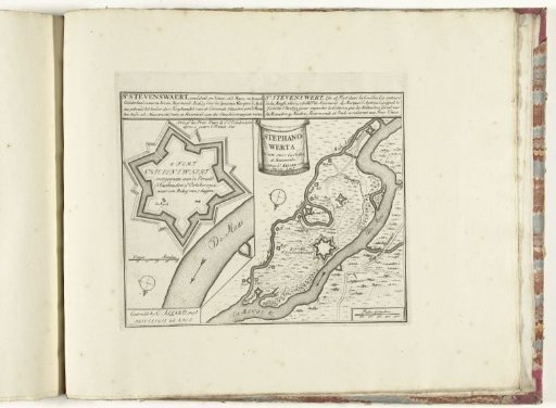
Map of the Fort of Stevensweert, ca. 1701-1713
From the collection of Rijksmuseum, Amsterdam. Free to download, adapt and use — no permission needed.
About this work
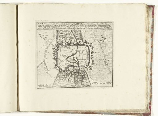
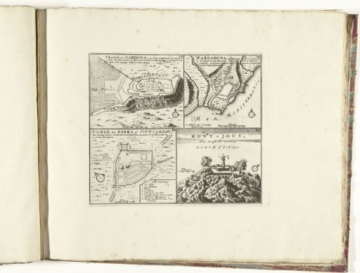
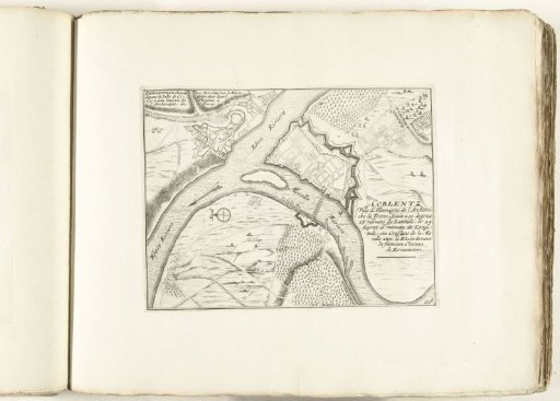
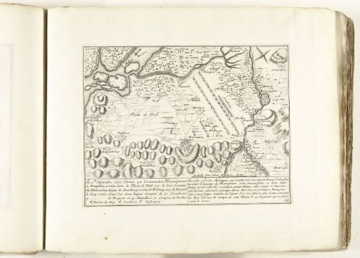
Plan of the fortress of Stevensweert with a map of the larger surrounding area. After siege, passed to the United Netherlands, 2 October 1702. Part of the bound series of 49 plates of famous strong cities and fortresses in the War of the Spanish Succession, ca. 1701-1713. With titles in Dutch and French.
Rijksmuseum, Amsterdam’s own descriptionCredit linePlattegrond van het fort van Stevensweert, ca. 1701-1713. 1702 - 1714. Rijksmuseum, Amsterdam. Public domain.