Public domain
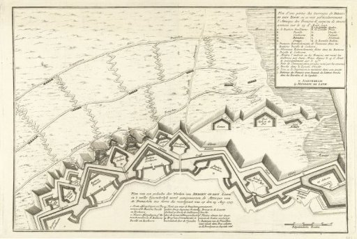
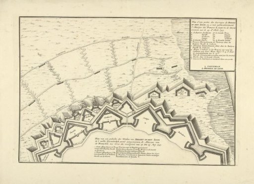
Map of a Part of the Defensive Works of Bergen op Zoom, 1747
From the collection of Rijksmuseum, Amsterdam. Free to download, adapt and use — no permission needed.
About this work
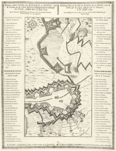
Map of a section of the defensive works with the bastions, ravelins and lunettes of Bergen op Zoom, showing the location of the French attack on 29 August 1747.
Rijksmuseum, Amsterdam’s own descriptionSubjects
Credit linePlattegrond van een deel van de verdedigingswerken van Bergen op Zoom, 1747. 1747. anonymous. Rijksmuseum, Amsterdam. Public domain.