Public domain
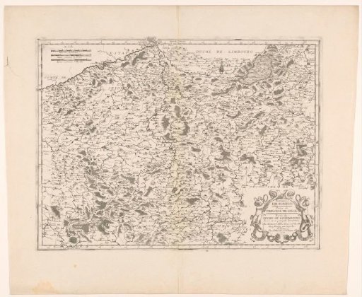
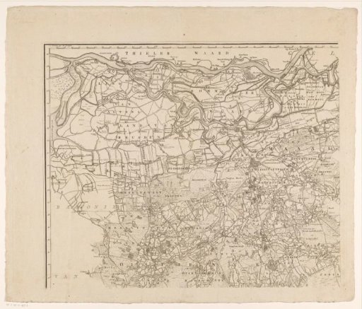
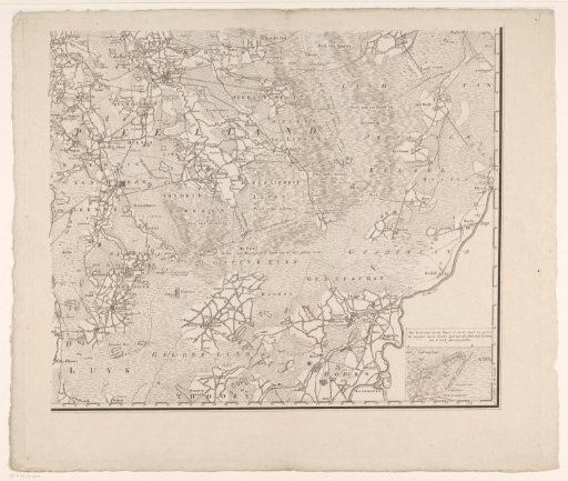
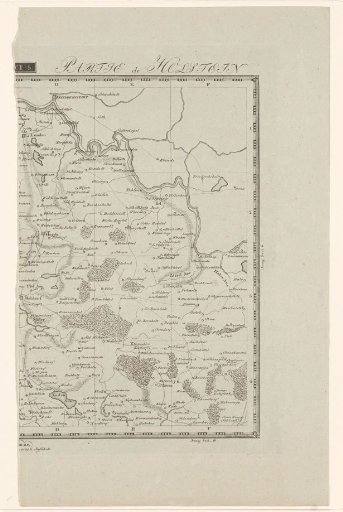
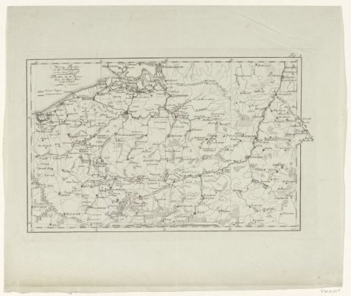
Map of the War Zone in the Austrian Netherlands in 1793-1794
From the collection of Rijksmuseum, Amsterdam. Free to download, adapt and use — no permission needed.
About this work
Map of the war area in the Austrian Netherlands and the positions of the French army and the Coalition army during the First Coalition War, 1793-1794. Marked top right: Taf. I.
Rijksmuseum, Amsterdam’s own descriptionCredit lineKaart van het oorlogsgebied in de Oostenrijkse Nederlanden in 1793-1794. 1800 - 1804. Schleuen. Rijksmuseum, Amsterdam. Public domain.