Public domain
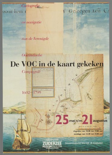
The VOC in the map. Cartography and navigation of the Dutch East India Company 1602-1799
From the collection of Rijksmuseum, Amsterdam. Free to download, adapt and use — no permission needed.
About this work
A poster announcing an exhibition on the cartography and navigation of the VOC. Poster with a seascape near the island of Mozambique and a sea chart of the route to Mozambique. Lettering in red, black and white. Exhibition at the Rijksmuseum Zuiderzee Museum in Enkhuizen from 25 May to 21 August 1988.
Rijksmuseum, Amsterdam’s own descriptionCredit lineDe VOC in de kaart gekeken. Cartografie en navigatie van de Verenigde Oostindische Compagnie 1602-1799. before 1988-05-25. anonymous. Rijksmuseum, Amsterdam. Public domain.
Similar works
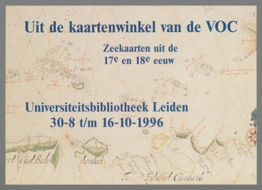 From the Map Shop of the VOC. Sea Charts from the 17th and 18th Centuries
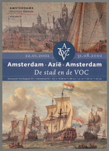 The City and the VOC: Amsterdam-Asia-Amsterdam
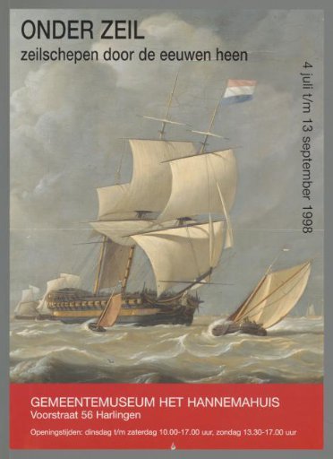 Under sail. Sailing ships through the ages
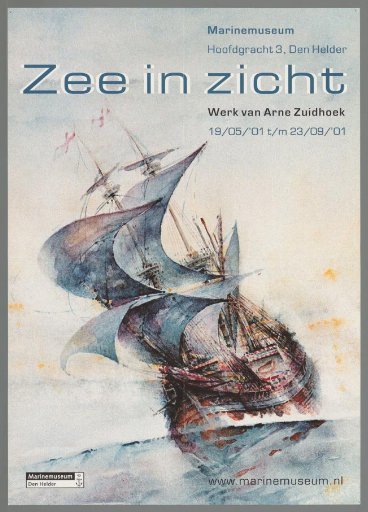 Sea in Sight. Work by Arne Zuidhoek
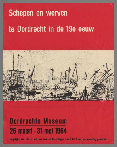 Ships and shipyards in Dordrecht in the 19th century
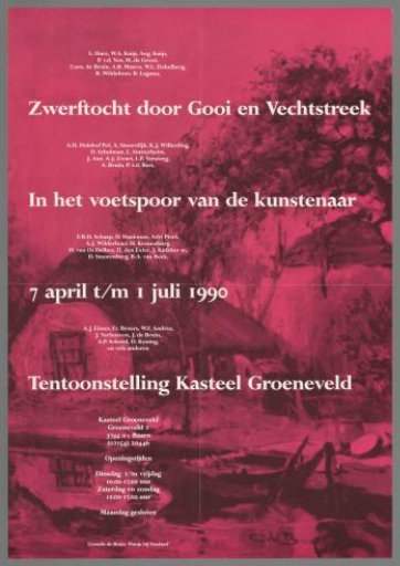 Journey through Gooi and Vechtstreek, in the footsteps of the artist