Public domain
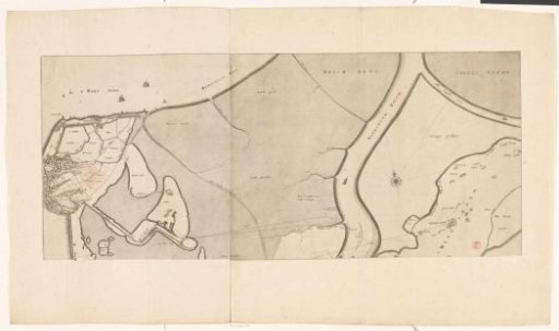
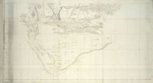
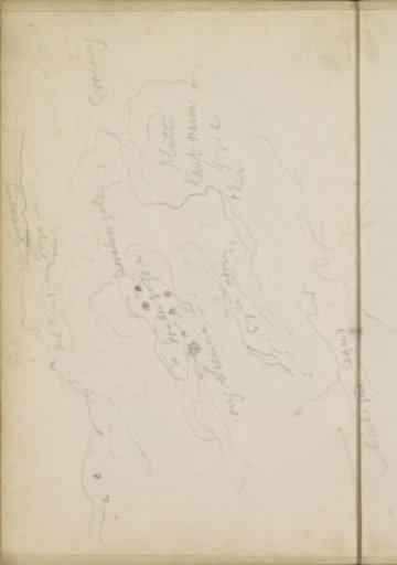
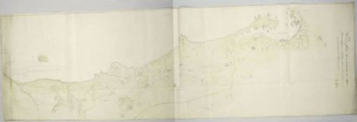
Map of the west coast between Saldanha Bay and Table Bay
From the collection of Rijksmuseum, Amsterdam. Free to download, adapt and use — no permission needed.
About this work
The map covers the coastal strip and adjacent inland area from the west coast, extending from Saldanha Bay in the north to Table Bay in the south, inland bounded by the line White Cliff - Eilandsfontein - Koeberg - Vissershoek - Paardeneiland; revealed by means of a guide map with 8 vertically demarcated areas, indicated by the letters A to H with indications of various locations with their names.
Rijksmuseum, Amsterdam’s own descriptionSubjects
Credit lineKaart van de westkust tussen Saldanhabaai en Tafelbaai. 1788. J.C. Friderici. Rijksmuseum, Amsterdam. Public domain.