Public domain
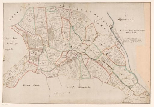
Map of the High Lordship of Oosterland
From the collection of Rijksmuseum, Amsterdam. Free to download, adapt and use — no permission needed.
About this work
Map of the high lordship of Oosterland, located on Duiveland. Bottom left of the center a scale bar: Maetstock of 200 rods. Top right the title and below it information about the map. Map made on commission of the lords of Oosterland following the flooding of the polders Zonneschijn and Hardemee in 1629, a year after these polders were reclaimed and shortly after the area was surveyed and mapped by land surveyors Cornelis Stavenisse and Jan Cornelis Jacobsz.
Rijksmuseum, Amsterdam’s own descriptionCredit lineKaart van de hoge heerlijkheid Oosterland. 1629. anonymous. Rijksmuseum, Amsterdam. Public domain.
Similar works
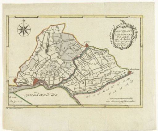 Map of Schieland and Krimpenerwaard
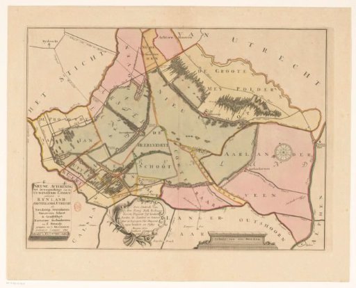 Map of the Polder Lands around Nieuwkoop, Zevenhoven, Nieuwveen, Korteraar and Aarlanderveen
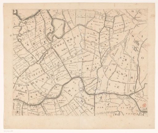 Map of the Hoogheemraadschap of Rijnland (eleventh part)
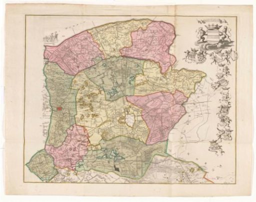 Map of the district of Oostergo
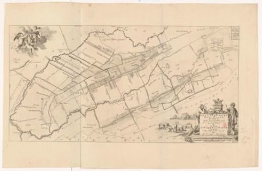 Map of the grietenij Weststellingwerf
 Map of the Hoogheemraadschap of the Krimpenerwaard (fifth part of the map)