Public domain
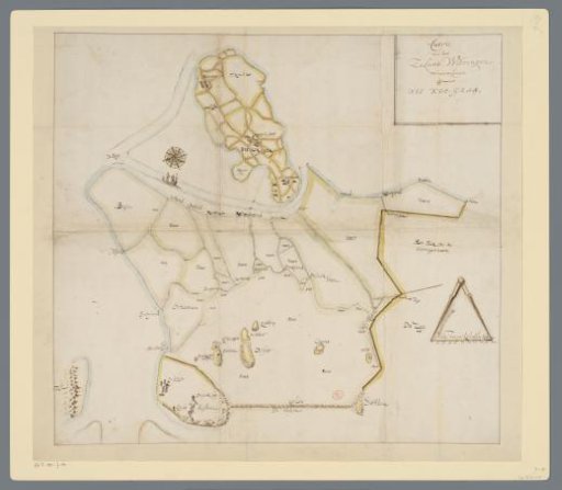
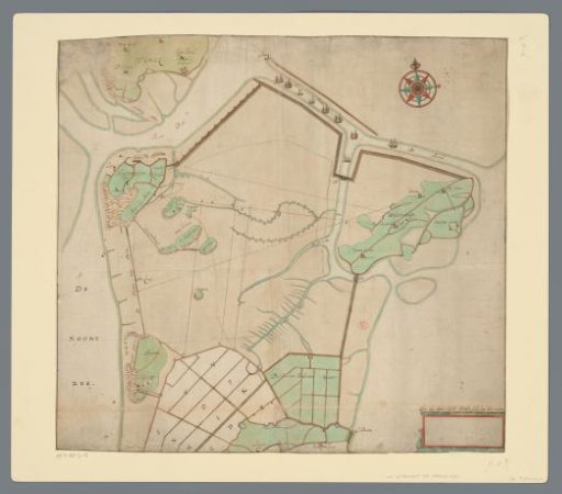
Map of the tip of North Holland
From the collection of Rijksmuseum, Amsterdam. Free to download, adapt and use — no permission needed.
About this work
Map of the north of North Holland down to Schagen. Top right the island of Wieringen. On the left Den Helder and part of Texel. Bottom left an empty cartouche with a scale bar: 'These are Zijp Dike Rods, each rod does 12 feet'. Orientation: North at the top.
Rijksmuseum, Amsterdam’s own descriptionCredit lineKaart van de kop van Noord-Holland. c. 1625 - c. 1725. anonymous. Rijksmuseum, Amsterdam. Public domain.