Public domain
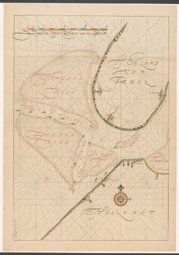
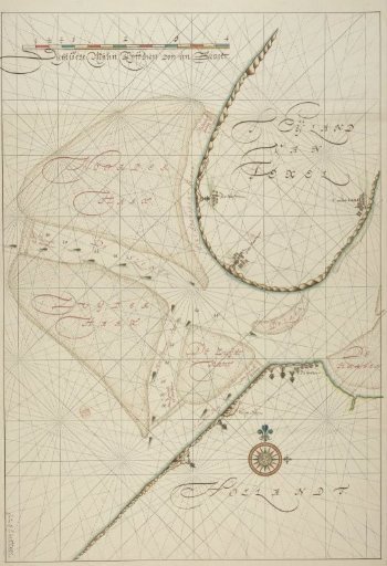
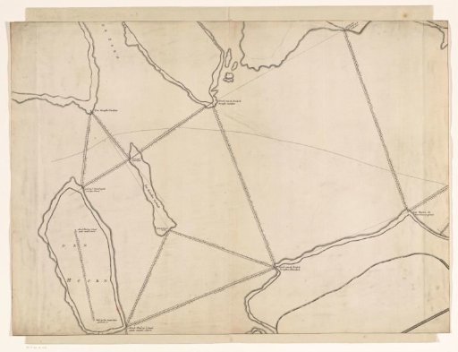
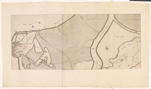
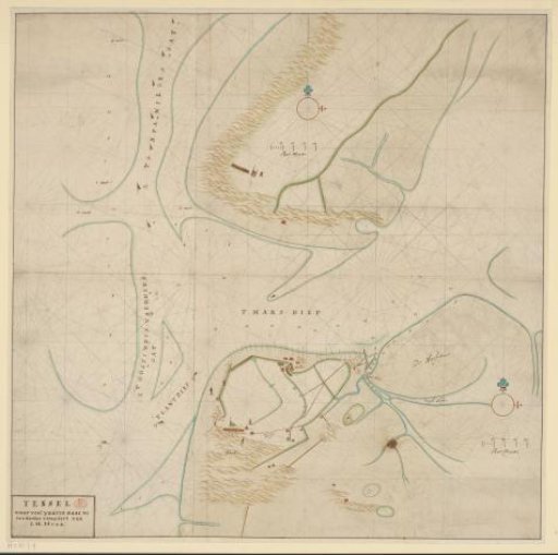
Chart of the Marsdiep between Den Helder and Texel
From the collection of Rijksmuseum, Amsterdam. Free to download, adapt and use — no permission needed.
About this work
Pilot chart of the Marsdiep between Den Helder and Texel. With the shipping channels 't OostIndis Vaerders Gat' and 't Spaniers Gat'. Bottom left a cartouche with the handwritten title, right a scale bar: 200 Roe Measure. Orientation: North at the top.
Rijksmuseum, Amsterdam’s own descriptionCredit linePaskaart van het Marsdiep tussen Den Helder en Texel. c. 1660 - c. 1680. J.H. Hulk. Rijksmuseum, Amsterdam. Public domain.