Public domain
Skylab
From the collection of NASA Image and Video Library. Free to download, adapt and use — no permission needed.
About this work
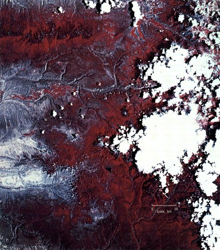
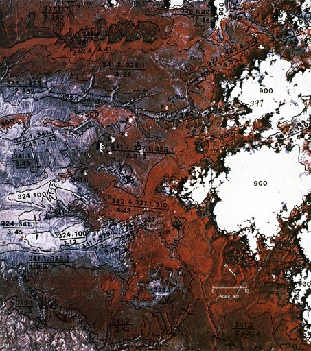
This EREP photograph of the Uncompahgre Plateau area of Colorado illustrates the land use classification using the hierarchical numbering system to depict land forms and vegetative patterns. The numerator is a three-digit number with decimal components identifying the vegetation analog or land use conditions. The denominator uses a three-component decimal system for landscape characterization.
NASA Image and Video Library’s own descriptionCredit lineSkylab. NASA/MSFC, 1973-01-01. Public domain. ID: 0102012.