Public domain
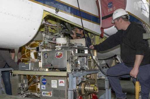
NASA ER-2 Prepares for Geological Earth Mapping Experiment Flights
From the collection of NASA Image and Video Library. Free to download, adapt and use — no permission needed.
About this work
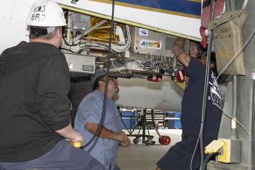
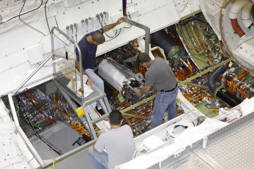
Mechanic Francisco Rodriguez and crew chief Darin Whittington installed the Airborne Visible/Infrared Imaging Spectrometer (AVIRIS) instrument into a NASA ER-2 high-altitude aircraft at NASA’s Armstrong Flight Research Center in Edwards, California, on Wednesday, March 11, 2026.
NASA Image and Video Library’s own descriptionCredit lineNASA ER-2 Prepares for Geological Earth Mapping Experiment Flights. NASA/AFRC, 2026-03-10. Public domain. ID: AFRC2026-0045-11.