Public domain
NASA ER-2 Prepares for Geological Earth Mapping Experiment Flights
From the collection of NASA Image and Video Library. Free to download, adapt and use — no permission needed.
About this work
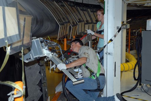
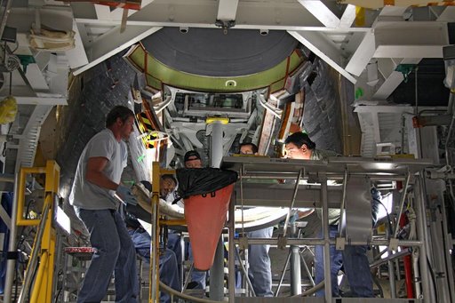
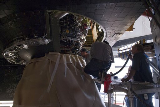
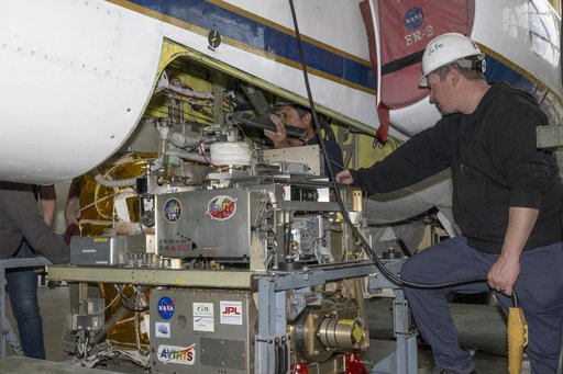
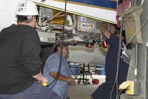
Crew chief Darin Whittington and mechanic Edwin Flores watch as mechanic Francisco Rodriguez works on a mounting bolt to secure the Airborne Visible/Infrared Imaging Spectrometer (AVIRIS) instrument into a NASA ER-2 high-altitude aircraft at NASA’s Armstrong Flight Research Center in Edwards, California, on Wednesday, March 11, 2026. The installation helped enabled the Geological Earth Mapping Experiment (GEMx) airborne science mission, which began on March 31, 2026.
NASA Image and Video Library’s own descriptionCredit lineNASA ER-2 Prepares for Geological Earth Mapping Experiment Flights. NASA/AFRC, 2026-03-10. Public domain. ID: AFRC2026-0045-19.