Public domain
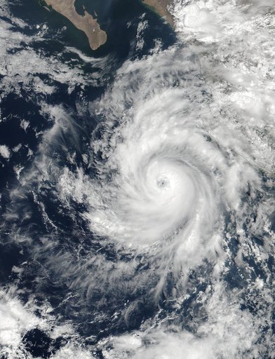
NASA Captures Hurricane Dora at Peak Strength, Before Weakening Began
From the collection of NASA Image and Video Library. Free to download, adapt and use — no permission needed.
About this work
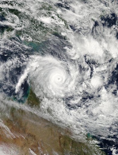
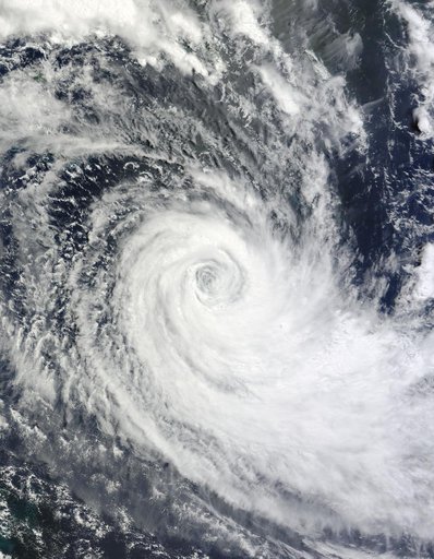
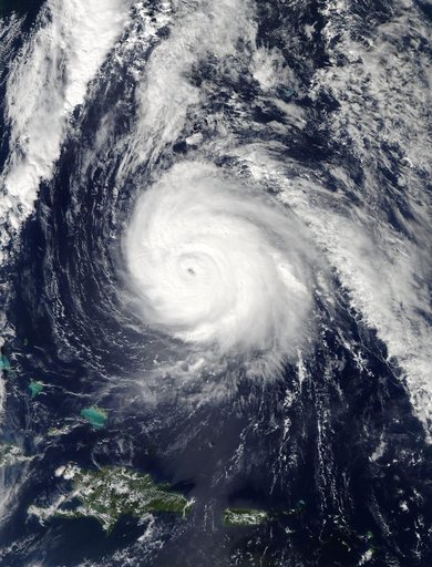
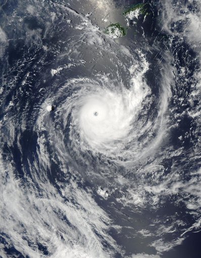
At 19:36 UTC (3:36 p.m. EDT) on June 26, the Visible Infrared Imaging Radiometer Suite (VIIRS) instrument aboard NASA-NOAA's Suomi NPP satellite provided a visible-light image of Hurricane Dora. The VIIRS imagery showed a small hurricane with a visible pinhole eye surrounded by a thick band of powerful thunderstorms. That strength didn't last long as Dora moved over cooler waters and began to weaken early on June 27.
NASA Image and Video Library’s own descriptionCredit lineNASA Captures Hurricane Dora at Peak Strength, Before Weakening Began. NASA/GSFC, 2017-12-08. Public domain. ID: GSFC_20171208_Archive_e000028.