Public domain
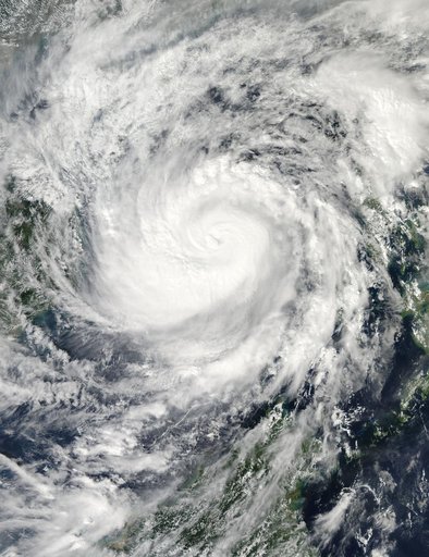
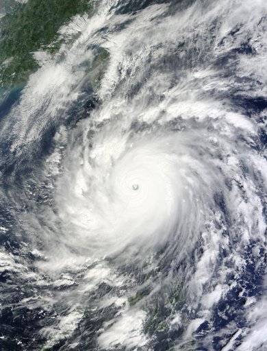
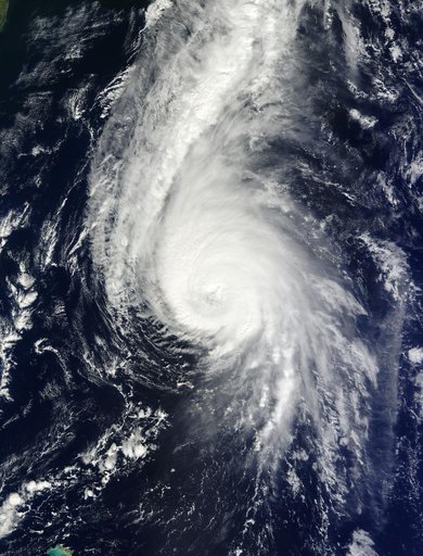
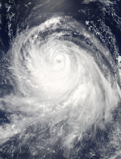
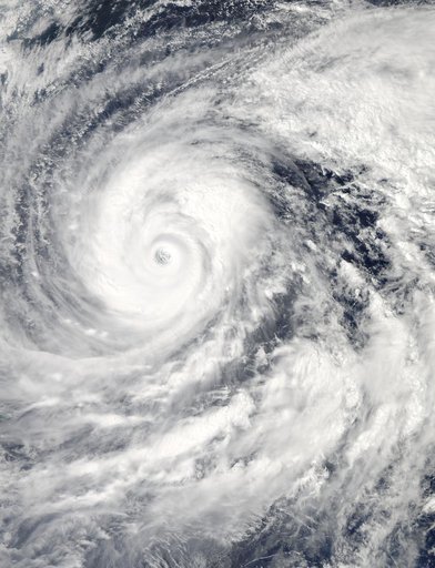
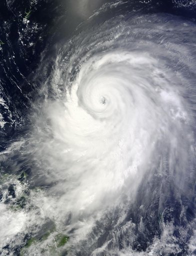
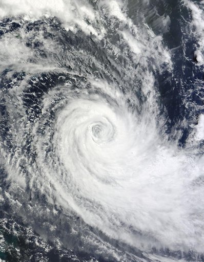
NASA Satellite Image of Tropical Cyclone Ului
From the collection of NASA Image and Video Library. Free to download, adapt and use — no permission needed.
About this work
NASA image acquired March 18, 2010. Tropical Cyclone Ului persisted south of the Solomon Islands on March 18, 2010. A bulletin from the U.S. Navy’s Joint Typhoon Warning Center (JTWC) issued the same day reported that the cyclone had maximum sustained winds of 80 knots (150 kilometers per hour) and gusts up to 100 knots (185 kilometers per hour). Although still strong, the wind speeds had significantly diminished over the previous few days.
NASA Image and Video Library’s own descriptionSubjects
Credit lineNASA Satellite Image of Tropical Cyclone Ului. NASA/GSFC, 2017-12-08. Public domain. ID: GSFC_20171208_Archive_e002118.