Public domain
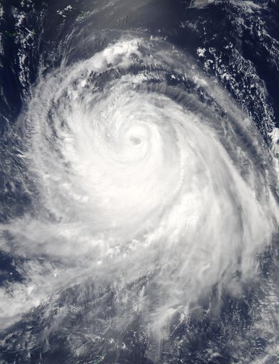
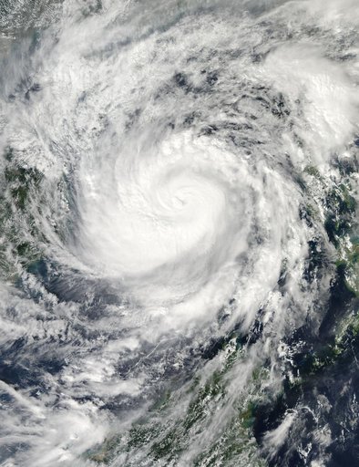
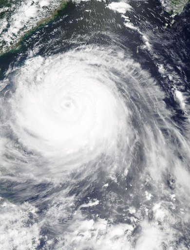
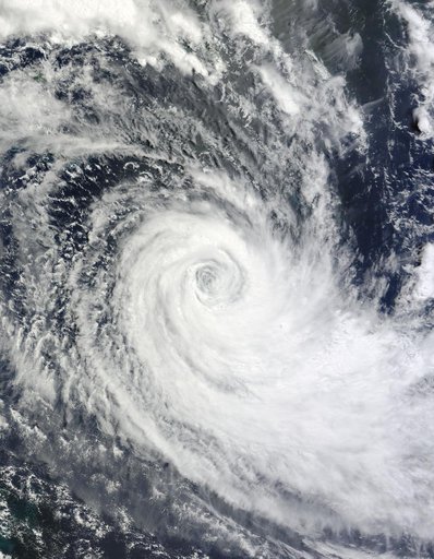
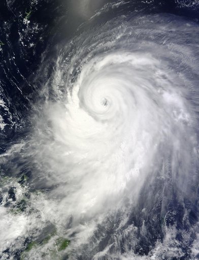
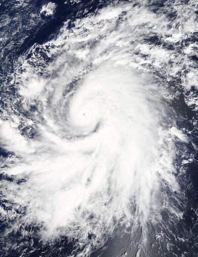
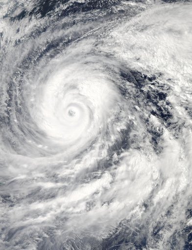
NASA's Aqua Satellite Tracking Super Typhoon Vongfong
From the collection of NASA Image and Video Library. Free to download, adapt and use — no permission needed.
About this work
The MODIS instrument aboard NASA's Aqua satellite captured this visible image of Super Typhoon Vongfong on Oct. 9 at 04:25 UTC (12:25 a.m. EDT as it moved north through the Philippine Sea. Credit: NASA Goddard MODIS Rapid Response Team --- Vongfong weakened to a Category 4 typhoon on the Saffir-Simpson scale on Thursday, October 9, with maximum sustained winds near 130 knots (149.6 mph/240.8 kph), down from a Category 5 typhoon on Oct. 8.
NASA Image and Video Library’s own descriptionCredit lineNASA's Aqua Satellite Tracking Super Typhoon Vongfong. NASA/GSFC, 2017-12-08. Public domain. ID: GSFC_20171208_Archive_e000953.