Public domain
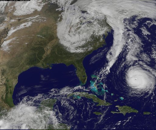
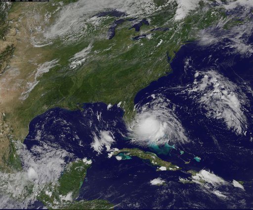
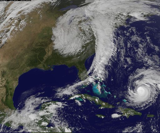
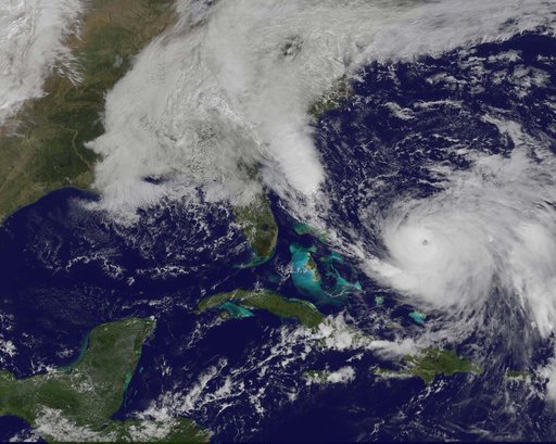
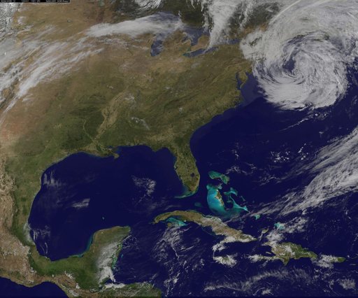
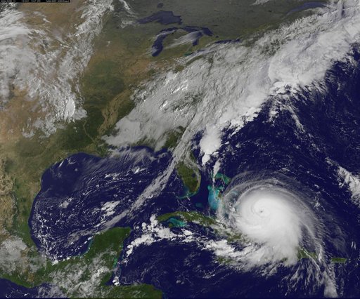
Latest View of Hurricane Joaquin
From the collection of NASA Image and Video Library. Free to download, adapt and use — no permission needed.
About this work
Hurricane Joaquin continued to intensify in the Bahamas on October 1 and NASA and NOAA satellites have been providing valuable data on the storm. NASA's GPM and Terra satellites and NOAA's GOES-East satellite provided rainfall, cloud extent, cloud height and other data to forecasters. Joaquin became a major hurricane today, October 1, reaching Category 3 status on the Saffir-Simpson Wind Scale. On October 1 at 1330 UTC (9:30 a.m.
NASA Image and Video Library’s own descriptionSubjects
Credit lineLatest View of Hurricane Joaquin. NASA/GSFC, 2017-12-08. Public domain. ID: GSFC_20171208_Archive_e000590.