Public domain
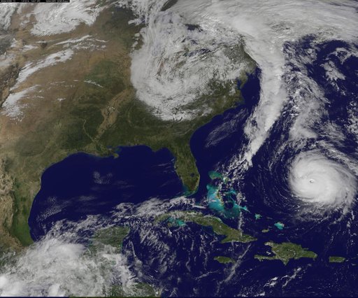
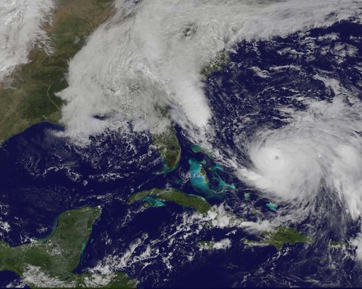
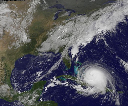
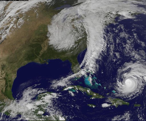
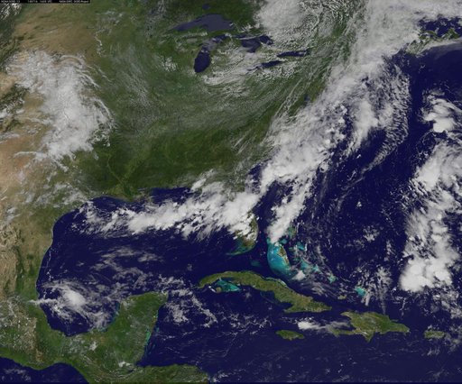
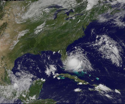
Tropical Storm Arthur Forms
From the collection of NASA Image and Video Library. Free to download, adapt and use — no permission needed.
About this work
Radar and satellite imagery indicate that the convective organization of the cyclone has improved, and the cyclone is being upgraded based on a sustained wind report of 33 kt from Settlement Point, Grand Bahama Island earlier this morning. Low shear conditions and warm sea-surface temperatures should allow for at least steady strengthening, and the cyclone is expected to become a hurricane by 72 hours. This image was taken by GOES East at 1445Z on July 1, 2014.
NASA Image and Video Library’s own descriptionCredit lineTropical Storm Arthur Forms. NASA/GSFC, 2017-12-08. Public domain. ID: GSFC_20171208_Archive_e001046.