Public domain
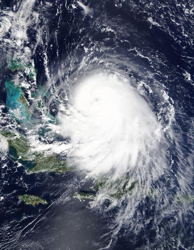
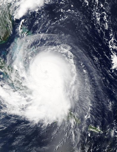
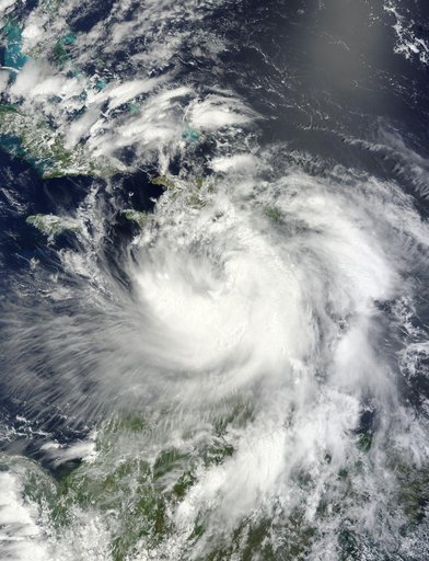
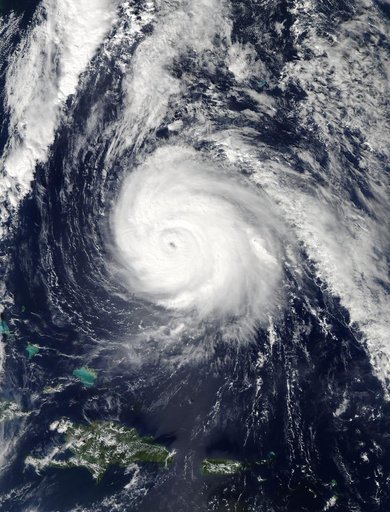
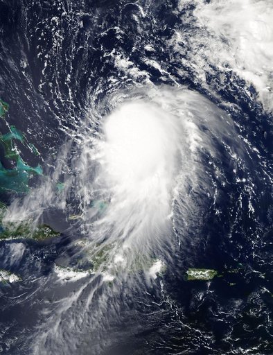
Hurricane Joaquin on 9/29/15
From the collection of NASA Image and Video Library. Free to download, adapt and use — no permission needed.
About this work
NASA's Aqua satellite captured this image of Joaquin near the Bahamas on Sept. 29 at 18:10 UTC (2:10 p.m. EDT). Credit: NASA Goddard MODIS Rapid Response Team At 11 a.m. EDT (1500 UTC) on Wednesday, September 30, 2015 the center of Hurricane Joaquin was located near latitude 24.7 North, longitude 72.6 West. That puts the center of Joaquin about 215 miles (345 km) east-northeast of the Central Bahamas.
NASA Image and Video Library’s own descriptionCredit lineHurricane Joaquin on 9/29/15. NASA/GSFC, 2017-12-08. Public domain. ID: GSFC_20171208_Archive_e000599.