Public domain
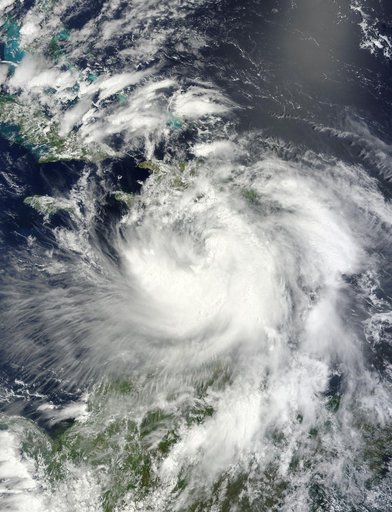
NASA Satellite View of Tropical Storm Isaac
From the collection of NASA Image and Video Library. Free to download, adapt and use — no permission needed.
About this work
NASA's Terra satellite passed over Tropical Storm Isaac on Aug. 24 at 15:20 UTC (11:20 a.m. EDT) as it continued moving through the eastern Caribbean Sea. The MODIS instrument onboard Aqua captured this visible image. At 2 p.m. EDT on Aug. 24, Isaac's maximum sustained winds were near 60 mph (95 kmh). The National Hurricane Center noted that Isaac could strengthen later before reaching the coast of Hispaniola tonight, Aug. 24.
NASA Image and Video Library’s own descriptionCredit lineNASA Satellite View of Tropical Storm Isaac. NASA/GSFC, 2017-12-08. Public domain. ID: GSFC_20171208_Archive_e001681.
Similar works
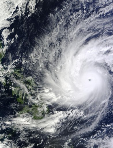 NASA Observes Super Typhoon Hagupit; Philippines Under Warnings
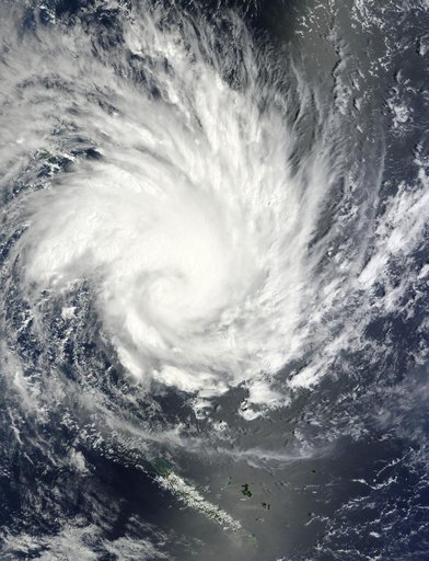 NASA Sees Large Tropical Cyclone Yasi Headed Toward Queensland, Australia
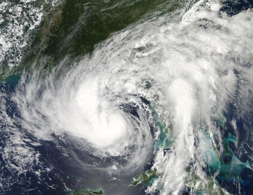 NASA Watching Issac's Approach to U.S. Gulf Coast
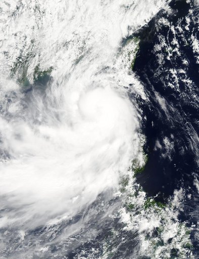 NASA Sees Tropical Storm Linfa Between Taiwan and Northern Philippines
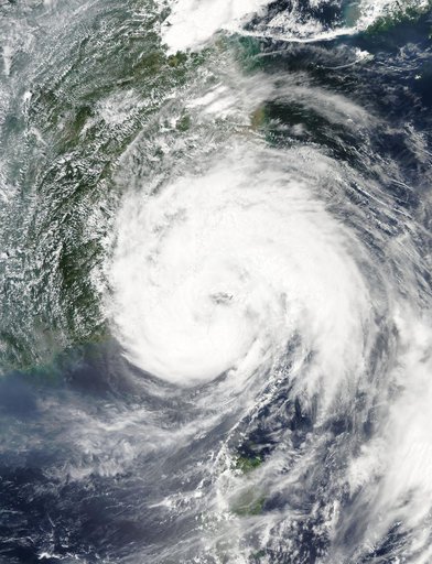 Typhoon Soudelor's Eye over Northwestern Taiwan
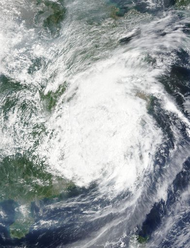 NASA Sees Typhoon Soudelor's Remnants Over Eastern China