Public domain
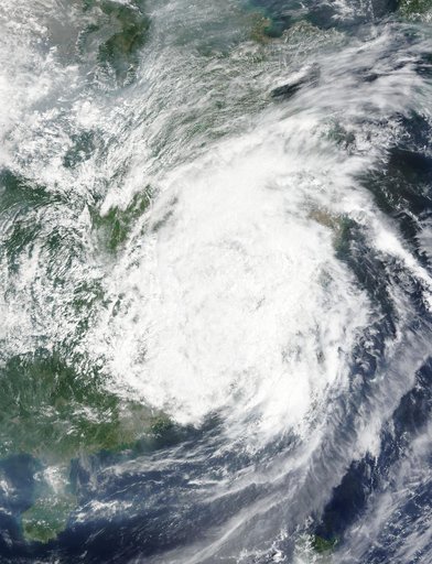
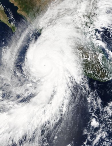
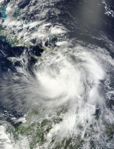
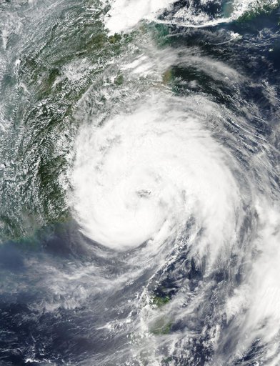
NASA Sees Tropical Storm Linfa Between Taiwan and Northern Philippines
From the collection of NASA Image and Video Library. Free to download, adapt and use — no permission needed.
About this work
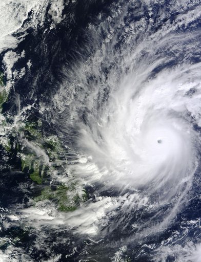
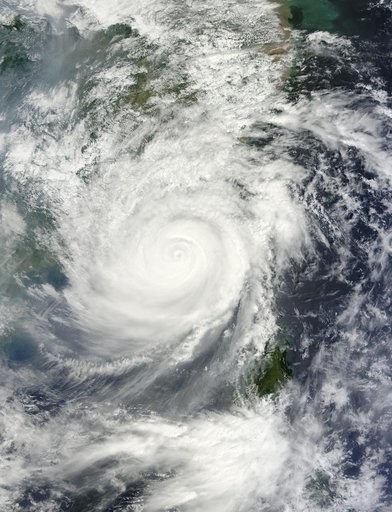
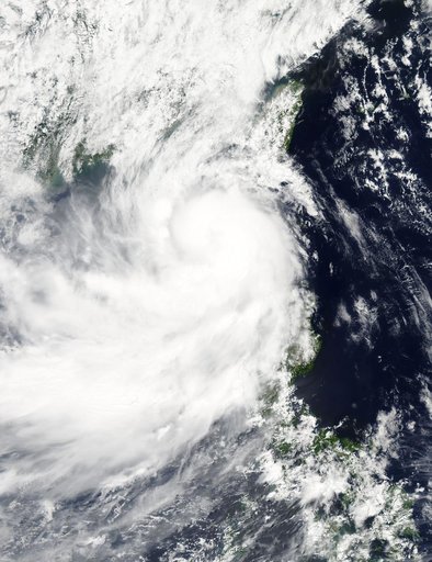
NASA's Aqua satellite captured a picture of Tropical Storm Linfa in the South China Sea on July 7 when it was between southern Taiwan and the northern Philippines. Aqua passed over Linfa on July 7 at 05:25 UTC (1:25 a.m. EDT) and the Moderate Resolution Imaging Spectroradiometer or MODIS instrument captured a visible image of the storm. Bands of thunderstorms wrapping into the center of circulation from the south, draped over western Luzon.
NASA Image and Video Library’s own descriptionCredit lineNASA Sees Tropical Storm Linfa Between Taiwan and Northern Philippines. NASA/GSFC, 2017-12-08. Public domain. ID: GSFC_20171208_Archive_e000691.