Public domain
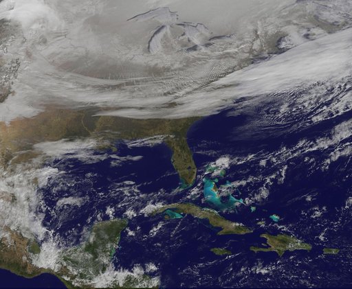
Satellite Picture Shows the Snow-covered U.S. Deep Freeze
From the collection of NASA Image and Video Library. Free to download, adapt and use — no permission needed.
About this work
NOAA's GOES-East satellite provided a look at the frigid eastern two-thirds of the U.S. on Jan. 7, 2015, that shows a blanket of northern snow, lake-effect snow from the Great Lakes and clouds behind the Arctic cold front. A visible picture captured at 1600 UTC (11 a.m. EST) showed the effects of the latest Arctic outbreak. The cold front that brought the Arctic air has moved as far south as Florida, and stretches back over the Gulf of Mexico and just west of Texas today.
NASA Image and Video Library’s own descriptionCredit lineSatellite Picture Shows the Snow-covered U.S. Deep Freeze. NASA/GSFC, 2017-12-08. Public domain. ID: GSFC_20171208_Archive_e000841.
Similar works
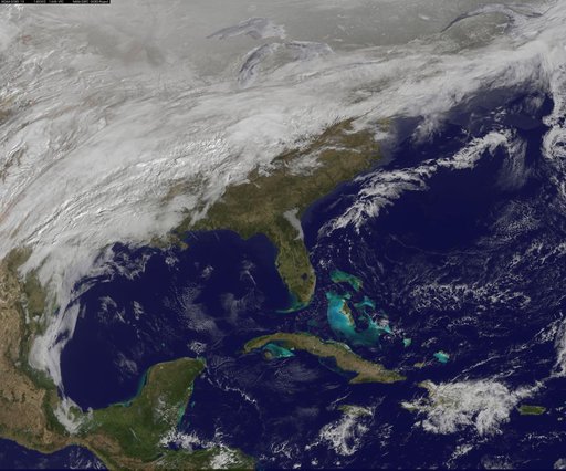 Satellite Sees Major Winter Storm Ready to Wallop Mid-Atlantic
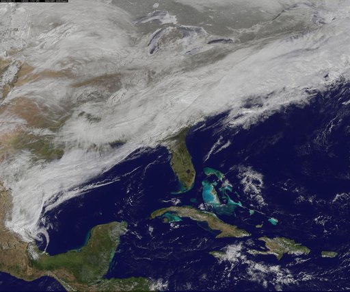 Satellite Sees Winter Storm March Over Mid-Atlantic
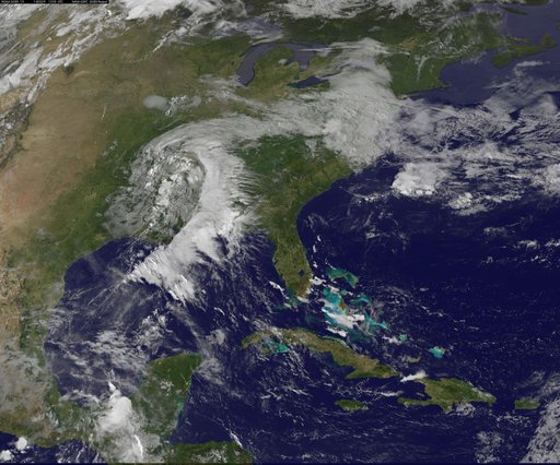 A Satellite View of a Back-door Cold Front
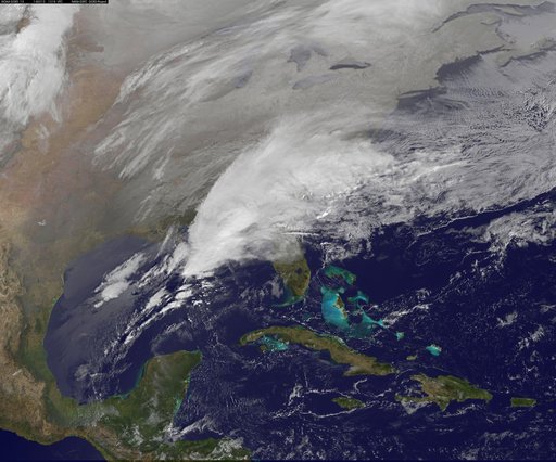 Satellite Shows Major Winter Storm Hitting the U.S. South
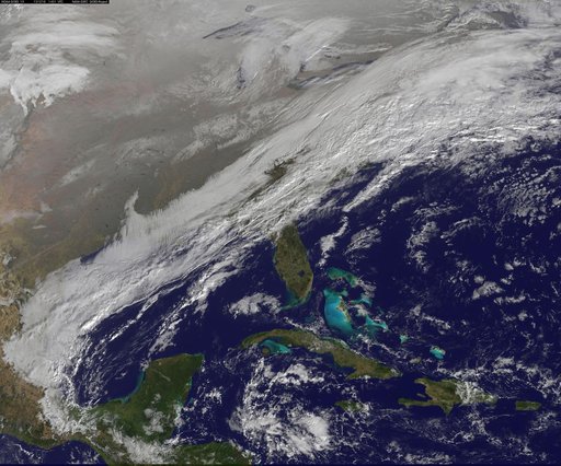 winter storm hits mid-Atlantic region
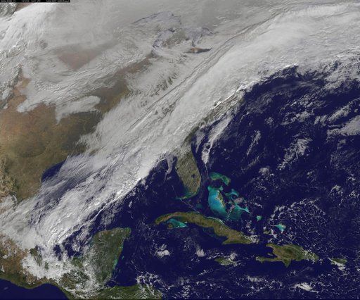 Long, Strong Eastern U.S. Cold Front Brings Changes