Public domain
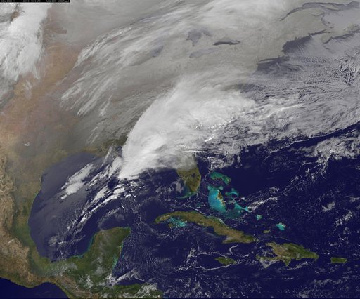
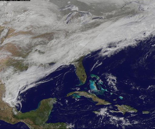
Satellite Shows Major Winter Storm Hitting the U.S. South
From the collection of NASA Image and Video Library. Free to download, adapt and use — no permission needed.
About this work
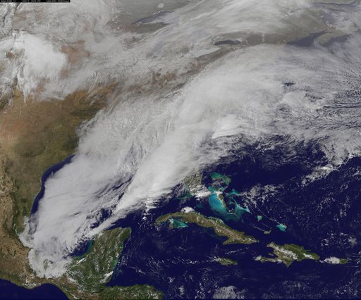
Clouds associated with the major winter storm that is bringing wintry precipitation and chilly temperatures to the U.S. south is the focus in an image from NOAA's GOES-East satellite today, February 12 at 1310 UTC/ 8:10 EST. Rain, freezing rain, sleet and snow are part of the large front that stretches from eastern Texas to the Carolinas in the Geostationary Operational Environmental satellite or GOES image. NOAA's weather maps show several areas of low pressure along the frontal boundary.
NASA Image and Video Library’s own descriptionCredit lineSatellite Shows Major Winter Storm Hitting the U.S. South. NASA/GSFC, 2017-12-08. Public domain. ID: GSFC_20171208_Archive_e001233.
Similar works
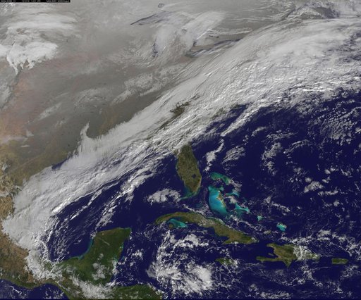 winter storm hits mid-Atlantic region
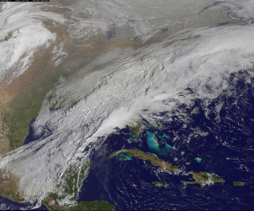 Satellite Shows a Mid-Atlantic St. Patrick's Day Snow
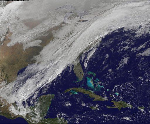 Long, Strong Eastern U.S. Cold Front Brings Changes
 Satellite Sees Winter Storm March Over Mid-Atlantic
 Satellite Video Shows Movement of Major U.S. Winter Storm
![Satellite Shows an "Arctic Blanket" Over the U.S. [detail]](https://thumbs.arkivism.com/nasa-GSFC_20171208_Archive_e001250.jpg) Satellite Shows an "Arctic Blanket" Over the U.S. [detail]
Satellite Shows an "Arctic Blanket" Over the U.S. [detail]