Public domain
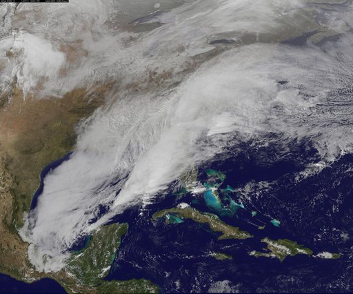
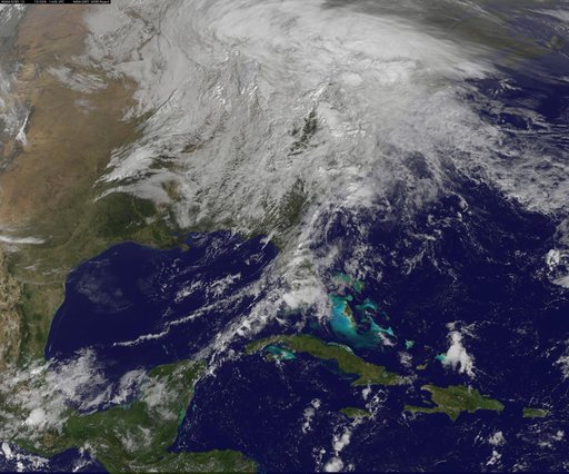
Satellite Video Shows Movement of Major U.S. Winter Storm
From the collection of NASA Image and Video Library. Free to download, adapt and use — no permission needed.
About this work
<b>View a video of the storm here: <a href="http://bit.ly/1m9aJFY" rel="nofollow">bit.ly/1m9aJFY</a></b> This visible image of the winter storm over the U.S. south and East Coast was taken by NOAA's GOES-13 satellite on Feb. 12 at 1855 UTC/1:55 p.m. EST. Snow covered ground can be seen over the Great Lakes region and Ohio Valley. On February 12 at 10 a.m. EST, NOAA's National Weather Service or NWS continued to issue watches and warnings from Texas to New England.
NASA Image and Video Library’s own descriptionCredit lineSatellite Video Shows Movement of Major U.S. Winter Storm. NASA/GSFC, 2017-12-08. Public domain. ID: GSFC_20171208_Archive_e001231.
Similar works
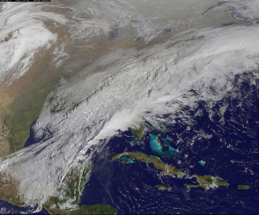 Satellite Shows a Mid-Atlantic St. Patrick's Day Snow
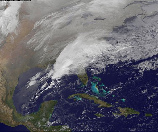 Satellite Shows Major Winter Storm Hitting the U.S. South
![Satellite Shows an "Arctic Blanket" Over the U.S. [detail]](https://thumbs.arkivism.com/nasa-GSFC_20171208_Archive_e001250.jpg) Satellite Shows an "Arctic Blanket" Over the U.S. [detail]
Satellite Shows an "Arctic Blanket" Over the U.S. [detail]
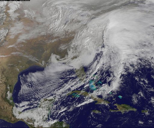 Satellite Views Powerful Winter Storm Battering Mid-Atlantic and New England
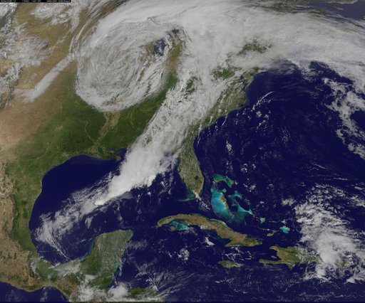 image1goes5117.jpg
 NASA Sees Post-Patricia Moisture, Winds Stalking the Mid-Atlantic