Public domain
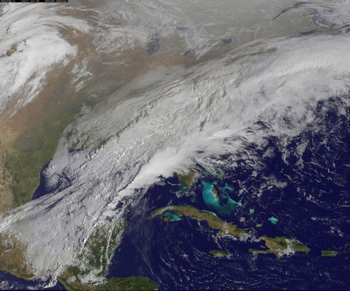
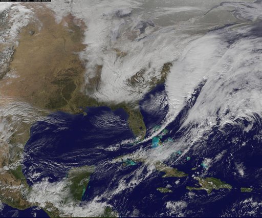
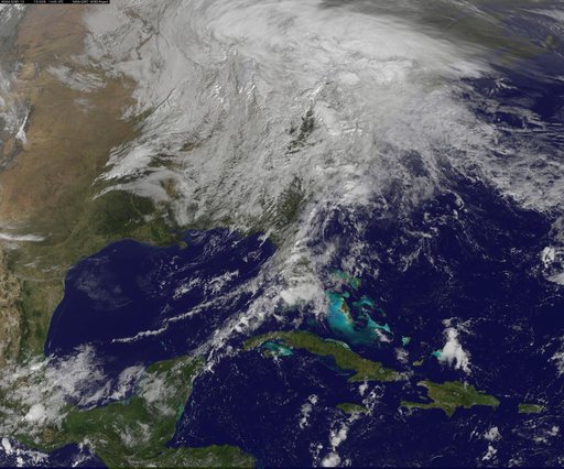
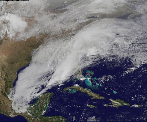
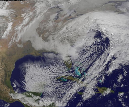
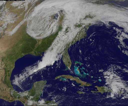
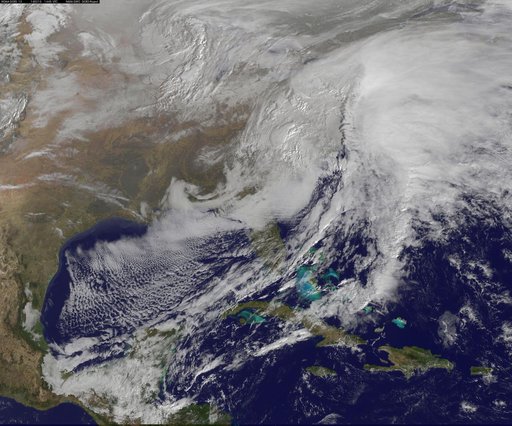
Satellite Views Powerful Winter Storm Battering Mid-Atlantic and New England
From the collection of NASA Image and Video Library. Free to download, adapt and use — no permission needed.
About this work
The monster winter storm that brought icing to the U.S. southeast moved northward along the Eastern Seaboard and brought snow, sleet and rain from the Mid-Atlantic to New England on February 13. A new image from NOAA's GOES satellite showed clouds associated with the massive winter storm stretch from the U.S. southeast to the northeast. Data from NOAA's GOES-East satellite taken on Feb. 13 at 1455 UTC/9:45 a.m.
NASA Image and Video Library’s own descriptionCredit lineSatellite Views Powerful Winter Storm Battering Mid-Atlantic and New England. NASA/GSFC, 2017-12-08. Public domain. ID: GSFC_20171208_Archive_e001229.