Public domain
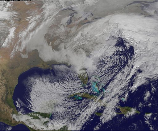
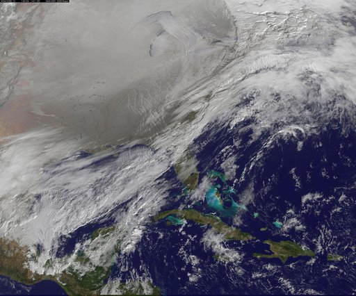
NASA Sees Winter Storm Slamming Eastern United States
From the collection of NASA Image and Video Library. Free to download, adapt and use — no permission needed.
About this work
NASA satellite imagery captured the size of the massive winter storm that continued to pummel the U.S. East Coast early on January 23, 2016. This visible image of the major winter storm was taken from NOAA's GOES-East satellite on Saturday, January 23, 2016 at 1437 UTC (9:37 a.m. EST) as the Baltimore/Washington corridor was under a blizzard warning.
NASA Image and Video Library’s own descriptionCredit lineNASA Sees Winter Storm Slamming Eastern United States. NASA/GSFC, 2017-12-08. Public domain. ID: GSFC_20171208_Archive_e000428.
Similar works
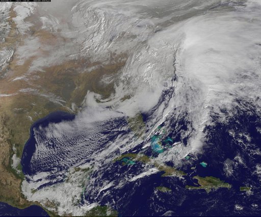 Satellite Views Powerful Winter Storm Battering Mid-Atlantic and New England
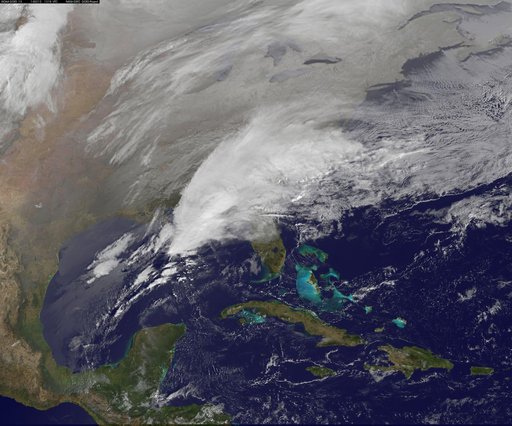 Satellite Shows Major Winter Storm Hitting the U.S. South
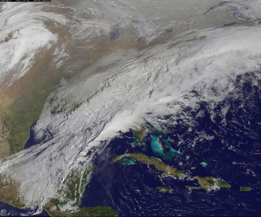 Satellite Shows a Mid-Atlantic St. Patrick's Day Snow
![Satellite Shows an "Arctic Blanket" Over the U.S. [detail]](https://thumbs.arkivism.com/nasa-GSFC_20171208_Archive_e001250.jpg) Satellite Shows an "Arctic Blanket" Over the U.S. [detail]
Satellite Shows an "Arctic Blanket" Over the U.S. [detail]
 Satellite Image Shows Entry of the Polar Vortex into the Northern U.S.
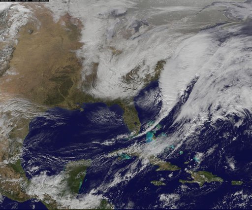 Satellite Shows Developing U.S. Nor'easter